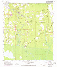
1968 Map of Ponchatoula NE
USGS Topo · Published 1973About this map
The Tangipahoa River meanders south through this corner of Tangipahoa Parish, shaping a landscape defined by its waterways and small riverfront settlements. At Lees Landing, the river transitions into a marshy expanse of cypress-filled wetlands, while further east, Bedico Creek winds past Traino Landing. The presence of oxbow features like Dead Lake and Ear Lake indicates the river's historical shifts, while various family-named burial grounds like Davis Cem and Collins Cem dot the higher ground alongside rural institutions such as the Champ Cooper Sch. This map documents the rural infrastructure of the late 1960s, including a small Landing Strip and the emerging community around Bedico Park, offering a look at the region before more modern coastal development altered the local drainage patterns and road networks.
Find a feature on this map
39 named features on this map. Tap any name to fly to it.
Don’t see what you’re looking for? This feature index may not catch every label — zoom into the map to look around manually.
Map Details
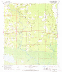
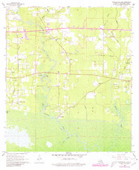
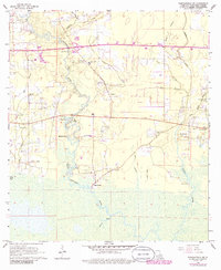
Editions of this 1968 Ponchatoula NE Map
4 editions found
Other maps of this area

1935 · Covington
USGS Topo · 1:62,500

1935 · Ponchatoula
USGS Topo · 1:62,500

1939 · Ponchatoula
USGS Topo · 1:62,500

1939 · Covington
USGS Topo · 1:62,500

1940 · Tickfaw
USGS Topo · 1:31,680

1942 · Onville
USGS Topo · 1:31,680

1942 · Robert
USGS Topo · 1:31,680

1950 · Covington
USGS Topo · 1:62,500

1951 · Ponchatoula
USGS Topo · 1:62,500

1954 · Folsom
USGS Topo · 1:62,500