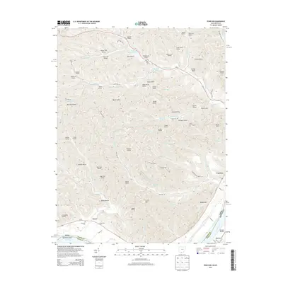
2013 Map of Pond Run
USGS Topo · Published 2013About this map
Shawnee State Park dominates this portion of the Ohio River valley, characterized by a dense network of hollows and small water bodies. The terrain is defined by its deep drainages, with evocative names such as Hog Thief Hollow, Dead Man Hollow, and Blue Clay Hollow etched into the landscape. Along the southern edge, the Ohio River forms the state boundary with Kentucky, where the settlements of Quincy and Formans Bottom sit opposite the Ohio shore. This area serves as a significant recreational and conservation zone, containing Turkey Creek Lake, Roosevelt Lake, and the Pond Run Lookout Tower. Transportation is centered on Us-52 and Oh-125, which navigate the winding valleys. Small communities and historical sites like McGaw and the McDermott Cem are tucked between the ridges, reflecting the long-standing rural character of Scioto County.
Find a feature on this map
107 named features on this map. Tap any name to fly to it.
Don’t see what you’re looking for? This feature index may not catch every label — zoom into the map to look around manually.
Map Details
Editions of this 2013 Pond Run Map
This is the sole edition of this map. No revisions or reprints were ever made.
Other maps of this area

1915 · Garrison
USGS Topo · 1:62,500

1915 · Otway
USGS Topo · 1:62,500

1916 · Peebles
USGS Topo · 1:62,500

1917 · Otway
USGS Topo · 1:62,500

1918 · Garrison
USGS Topo · 1:62,500

1918 · Peebles
USGS Topo · 1:62,500

1919 · Vanceburg
USGS Topo · 1:62,500

1949 · Pond Run
USGS Topo · 1:24,000

1949 · Vanceburg
USGS Topo · 1:62,500

1949 · Garrison
USGS Topo · 1:24,000