
1961 Map of Port Jefferson
USGS Topo · Published 1974About this map
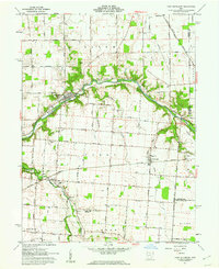
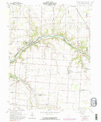
The Great Miami River carves a winding path through this corner of Shelby County, where the legacy of nineteenth-century transportation meets modern mid-century infrastructure. Near Port Jefferson, the remnants of the Miami Canal run parallel to the river, a physical reminder of the region's early water-based commerce. By the early 1960s, this landscape had transitioned into a productive agricultural and rail corridor, anchored by the Penn Central line passing through the village of Pemberton.
Find a feature on this map
56 named features on this map. Tap any name to fly to it.
Don’t see what you’re looking for? This feature index may not catch every label — zoom into the map to look around manually.
Map Details
Editions of this 1961 Port Jefferson Map
3 editions found
Other maps of this area

1913 · Bellefontaine
USGS Topo · 1:48,000

1913 · Sidney
USGS Topo · 1:62,500

1914 · Troy
USGS Topo · 1:62,500

1914 · St. Paris
USGS Topo · 1:62,500

1915 · Bellefontaine
USGS Topo · 1:62,500

1916 · St. Paris
USGS Topo · 1:62,500

1944 · Sidney
USGS Topo · 1:62,500

1944 · St. Paris
USGS Topo · 1:62,500

1944 · Troy
USGS Topo · 1:62,500

1944 · Bellefontaine
USGS Topo · 1:62,500