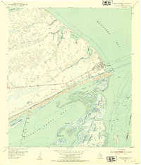
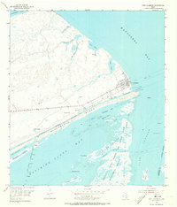
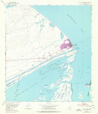
1952 Map of Port O'Connor
USGS Topo · Published 1954About this map
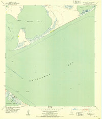
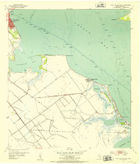
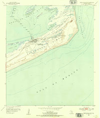
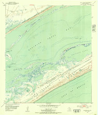
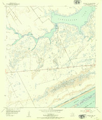
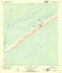
The coastal community of Port O'Connor serves as the focal point for this mid-century maritime study, situated where Matagorda Bay meets the Intracoastal Waterway. The map captures a landscape defined by complex hydrology, including the intricate networks of La Salle Bayou, Boggy Bayou, and Live Oak Bayou carving through the mainland. South of the town, the massive Matagorda Island Bombing and Gunnery Range dominates the barrier island landscape, reflecting the era's military footprint along the Texas Gulf Coast.
Find a feature on this map
39 named features on this map. Tap any name to fly to it.
Don’t see what you’re looking for? This feature index may not catch every label — zoom into the map to look around manually.
Map Details
Editions of this 1952 Port O'Connor Map
Other maps of this area
1951 · Keller Bay
USGS Topo · 1:24,000
1952 · Port Lavaca East
USGS Topo · 1:24,000
1952 · Pass Cavallo SW
USGS Topo · 1:24,000
1952 · Long Island
USGS Topo · 1:24,000
1952 · Seadrift NE
USGS Topo · 1:24,000
1952 · Decros Point
USGS Topo · 1:24,000

1953 · Beeville
USGS Topo · 1:250,000

1956 · Beeville
USGS Topo · 1:250,000

1960 · Beeville
USGS Topo · 1:250,000
1980 · Carancahua Pass
USGS Topo · 1:24,000