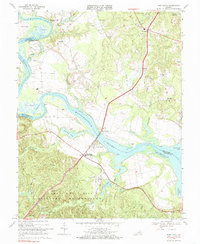
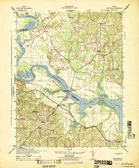
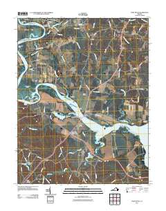
1968 Map of Port Royal
USGS Topo · Published 1985About this map
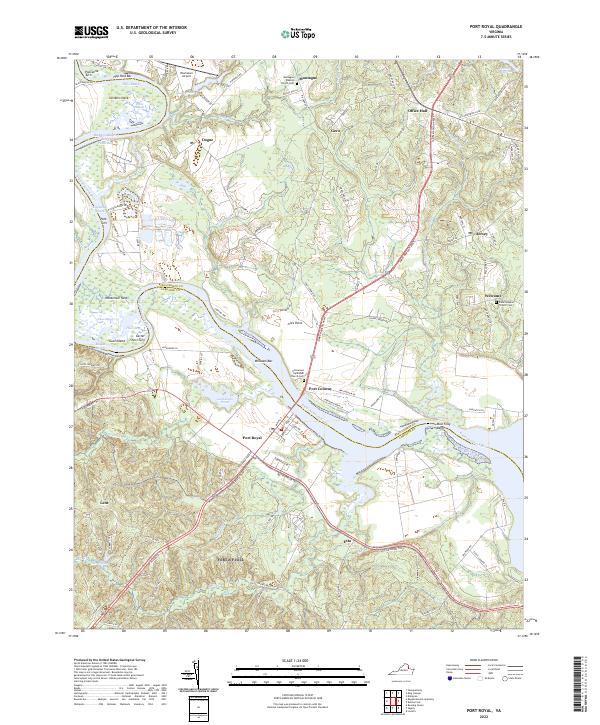
The Rappahannock River dictates the landscape of this 1960s survey, separating King George and Caroline Counties. The historic riverfront settlements of Port Royal and Port Conway face each other across the water, linked by the James Madison Memorial Bridge. This crossing point was a vital node in the regional transport network long before modern infrastructure, reflected in the surrounding pattern of landings and creek-side dwellings. To the south, the terrain shifts abruptly as the northern edge of the A. P. Hill Military Reservation covers a significant portion of the uplands, including Custer Hill and the community of Lent. The map documents several rural congregations, such as Emmanuel Ch and Salem Ch, alongside Numerous gravel pits that hint at the local extractive industry during this era of development.
Find a feature on this map
53 named features on this map. Tap any name to fly to it.
Don’t see what you’re looking for? This feature index may not catch every label — zoom into the map to look around manually.
Map Details
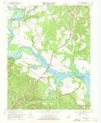
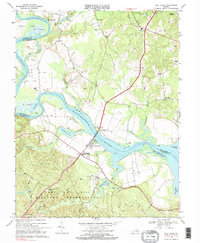
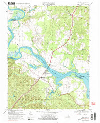
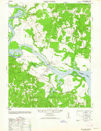
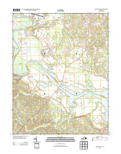
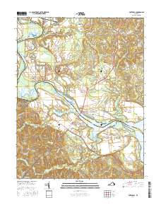
Editions of this 1968 Port Royal Map
5 editions found
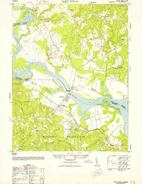
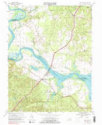
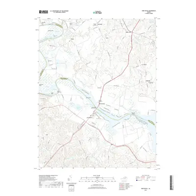
Historical Maps of Port Royal Through Time
9 maps found
1942 Port Royal
Caroline County, VA
1952 Port Royal
Caroline County, VA
1964 Port Royal
Caroline County, VA
1968 Port Royal
Caroline County, VA
2011 Port Royal
Caroline County, VA
2013 Port Royal
Caroline County, VA
2016 Port Royal
Caroline County, VA
2019 Port Royal
Caroline County, VA
2022 Port Royal
Caroline County, VA