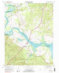
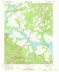
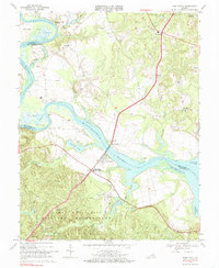
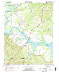
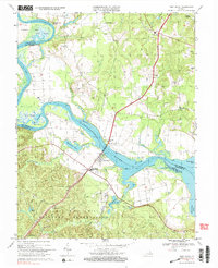
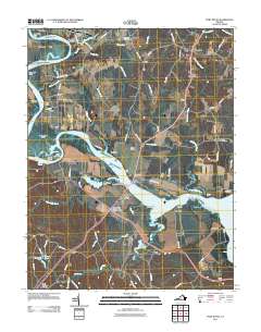
1968 Map of Port Royal
USGS Topo · Published 2000About this map
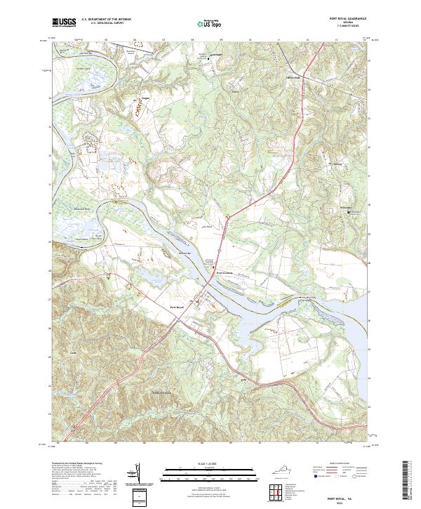
The Rappahannock River dictates the landscape of this Tidewater region, winding past historical crossings at Port Royal and Port Conway. By the late 1960s, the James Madison Memorial Bridge had long replaced earlier ferry transit, carrying U.S. Highway 301 across the water. To the south, the map reveals the northern extent of the Camp A P Hill Military Reservation, where a network of tracks like Taliaferro Trail and Custer Trail weave through the woods near Herns Pond. The riverbanks are marked by tidal features such as Cleve Marsh and Skinkers Neck, while the surrounding countryside is dotted with small rural hubs including Welcome, Jersey, and Dogue. Local landmarks like Emmanuel Ch, Union Ch, and the Salem Sch provide essential points of reference for genealogists tracing family roots in this corner of Caroline and King George counties.
Find a feature on this map
54 named features on this map. Tap any name to fly to it.
Don’t see what you’re looking for? This feature index may not catch every label — zoom into the map to look around manually.
Map Details
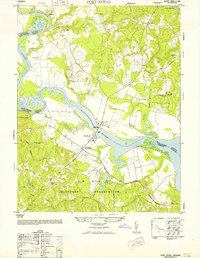
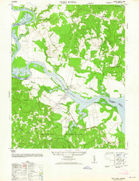
Editions of this 1968 Port Royal Map
5 editions found
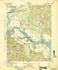
Historical Maps of Port Royal Through Time
9 maps found
1942 Port Royal
Caroline County, VA
1952 Port Royal
Caroline County, VA
1964 Port Royal
Caroline County, VA
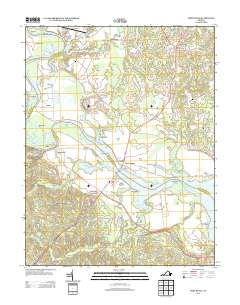
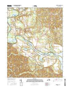
1968 Port Royal
Caroline County, VA
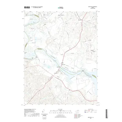
2011 Port Royal
Caroline County, VA
2013 Port Royal
Caroline County, VA
2016 Port Royal
Caroline County, VA
2019 Port Royal
Caroline County, VA
2022 Port Royal
Caroline County, VA