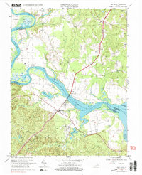
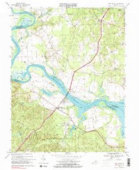
1968 Map of Port Royal
USGS Topo · Published 2000About this map
The Rappahannock River dictates the movement and history of this Tidewater landscape, winding through Buckners Reach and past the historic crossing at Port Royal. In the late 1960s, this area reflects a deep-seated riverine economy evolving with modern infrastructure, notably the James Madison Memorial Bridge linking the town to Port Conway. The southern portion of the map is dominated by the sprawling bounds of the Camp A P Hill Military Reservation, which transformed the local rural character and land use patterns of the mid-20th century.
Find a feature on this map
54 named features on this map. Tap any name to fly to it.
Don’t see what you’re looking for? This feature index may not catch every label — zoom into the map to look around manually.
Map Details
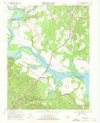
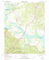
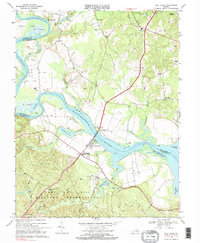
Editions of this 1968 Port Royal Map
5 editions found
Other maps of this area

1889 · Fredericksburg
USGS Topo · 1:125,000

1892 · Fredericksburg
USGS Topo · 1:125,000

1894 · Fredericksburg
USGS Topo · 1:125,000

1926 · Stafford
USGS Topo · 1:62,500

1931 · Stafford
USGS Topo · 1:62,500

1942 · Bowling Green
USGS Topo · 1:31,680

1942 · Upper Zion
USGS Topo · 1:31,680

1942 · Occupacia
USGS Topo · 1:31,680

1942 · Rollins Fork
USGS Topo · 1:31,680

1942 · Port Royal
USGS Topo · 1:31,680