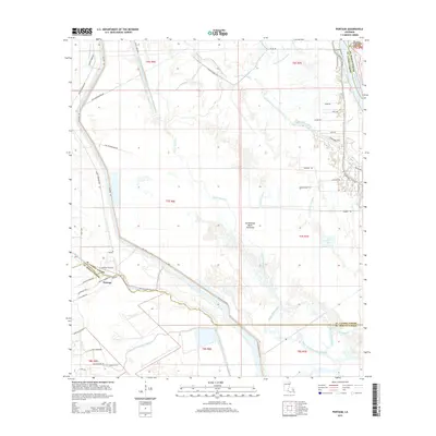
2015 Map of Portage
USGS Topo · Published 2015About this map
Portage and its surrounding bayous define this section of the Atchafalaya Basin Floodway where Saint Martin and St. Landry parishes meet. The landscape is dominated by a complex network of natural and engineered watercourses, including the Atchafalaya River, Bayou Courtableau, and the long reach of Bayou Fordoche. These waterways dictate the local infrastructure, with roads like Spillway Levee Rd and W Achafalaya Levee Rd following the raised embankments that protect the low-lying basin floor.
Find a feature on this map
57 named features on this map. Tap any name to fly to it.
Don’t see what you’re looking for? This feature index may not catch every label — zoom into the map to look around manually.
Map Details
Editions of this 2015 Portage Map
This is the sole edition of this map. No revisions or reprints were ever made.
Other maps of this area

1935 · Osca Bayou
USGS Topo · 1:62,500

1939 · Fordoche
USGS Topo · 1:62,500

1940 · Arnaudville
USGS Topo · 1:62,500

1954 · Baton Rouge
USGS Topo · 1:250,000

1955 · Osca Bayou
USGS Topo · 1:62,500

1955 · Fordoche
USGS Topo · 1:62,500

1956 · Baton Rouge
USGS Topo · 1:250,000
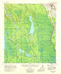
1959 · Osca Bayou
USGS Topo · 1:62,500

1959 · Fordoche
USGS Topo · 1:62,500

1959 · Palmetto
USGS Topo · 1:62,500