
Loading...
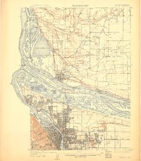
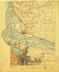
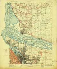
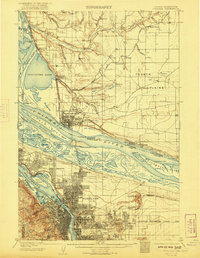
Loading map...1905 Map of Portland
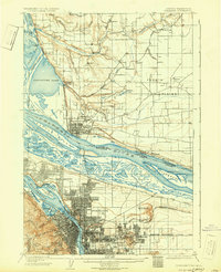
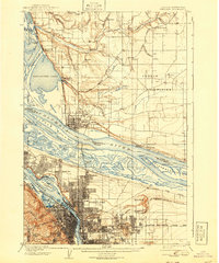
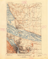
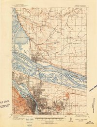
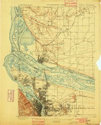
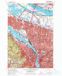
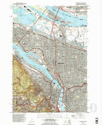
USGS Topo · Published 1905This historical map portrays the area of Portland in 1905, primarily covering Multnomah County as well as portions of Washington. Featuring a scale of 1:62500, this map provides a highly detailed snapshot of the terrain, roads, buildings, counties, and historical landmarks in the Portland region at the time. Published in 1905, it is one of 9 known editions of this map due to revisions or reprints.
Find a feature on this map
101 named features on this map. Tap any name to fly to it.
Don’t see what you’re looking for? This feature index may not catch every label — zoom into the map to look around manually.
Map Details
Date Portrayed1905
Date Published1905
PublisherU.S. Geological Survey
Map TypeTopographic
Scale1:62500
Physical Dimensions16.2 x 20 inches
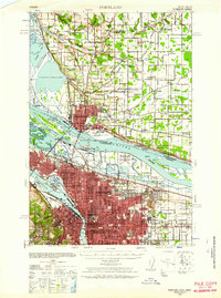
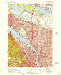
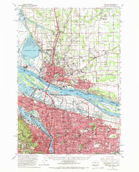
Editions of this 1905 Portland Map
9 editions found
Historical Maps of Bridgeton Through Time
8 maps found
Featured Locations
Source Details
SourceU.S. Geological Survey
CopyrightPublic Domain