
1905 Map of Portland
USGS Topo · Published 1905About this map
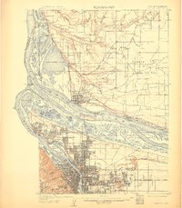
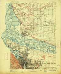
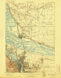
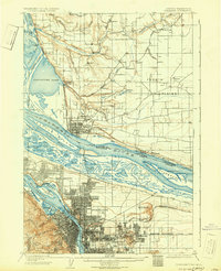
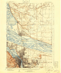
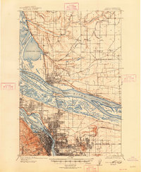
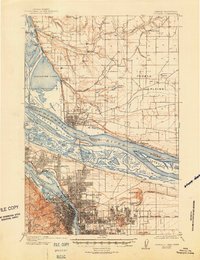
The Lewis and Clark Centennial Exposition grounds anchor the southwestern riverfront, marking a transformative moment in local development at the confluence of the Willamette River and the Columbia River. This 1905 survey captures the regional landscape before extensive industrial dredging and urban expansion reshaped the riverbanks and islands. Across the Columbia, the military presence at Vancouver Barracks stands near the established center of Vancouver, while the north shore is defined by a series of landings and water bodies like Vancouver Lake and Shillapoo Lake. Early rail infrastructure is prominent, including the Northern Pacific RR and the Portland and Vancouver (Electric) Ry, which connected emerging neighborhoods like University Park and Woodlawn to the core. Further inland, the landscape transitions to the Fourth Plains, dotted with numerous sawmills and the beginnings of rural settlements such as Orchards and Brush Prairie.
Find a feature on this map
101 named features on this map. Tap any name to fly to it.
Don’t see what you’re looking for? This feature index may not catch every label — zoom into the map to look around manually.
Map Details
Editions of this 1905 Portland Map
8 editions found
Other maps of this area

1897 · Portland
USGS Topo · 1:62,500

1911 · Boring
USGS Topo · 1:48,000

1914 · Boring
USGS Topo · 1:62,500

1914 · Oregon City
USGS Topo · 1:62,500

1915 · Hillsboro
USGS Topo · 1:62,500

1916 · Tualatin
USGS Topo · 1:62,500

1916 · Estacada
USGS Topo · 1:125,000

1918 · Hillsboro
USGS Topo · 1:62,500

1918 · Troutdale
USGS Topo · 1:62,500

1922 · St. Helens
USGS Topo · 1:62,500