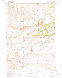
1965 Map of Potato Butte
USGS Topo · Published 1979About this map
Potato Butte and its namesake Potato Butte Draw anchor this high-elevation landscape within the boundaries of the Wind River Indian Reservation. Situated along the border of Hot Springs and Fremont Counties, the area is defined by a series of prominent plateaus and seasonal water sources essential for survival in this arid environment. The map highlights the reliance on isolated water points like Rainwater Spring, Val Day Spring, and Sweetwater Spring located near the Sweetwater Basin.
Find a feature on this map
33 named features on this map. Tap any name to fly to it.
Don’t see what you’re looking for? This feature index may not catch every label — zoom into the map to look around manually.
Map Details
Editions of this 1965 Potato Butte Map
2 editions found
Other maps of this area

1951 · Mexican Pass
USGS Topo · 1:24,000

1951 · Morrison Canyon
USGS Topo · 1:24,000

1951 · Jenkins Mountain
USGS Topo · 1:24,000

1952 · Kates Basin
USGS Topo · 1:24,000

1955 · Thermopolis
USGS Topo · 1:250,000
1957 · Jenkins Mountain
USGS Topo · 1:24,000

1958 · Thermopolis
USGS Topo · 1:250,000

1962 · Thermopolis
USGS Topo · 1:250,000

1965 · Arapahoe Ranch
USGS Topo · 1:24,000
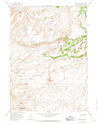
1965 · Potato Butte
USGS Topo · 1:24,000