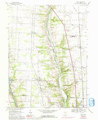
1967 Map of Powell
USGS Topo · Published 1992About this map
The Olentangy River carves a deep central valley through this landscape, separating the developing suburban pockets of Powell and Lewis Center during the mid-to-late 20th century. The map highlights a significant transportation and utility corridor, where the Norfolk and Western, Penn Central, and Chesapeake and Ohio railroads parallel the river's course. To the west, the Scioto River is anchored by the O'Shaughnessy Dam and the O'Shaughnessy Reservoir, landmarks that defined the regional water supply and recreation, including the nearby Columbus Zoo.
Find a feature on this map
52 named features on this map. Tap any name to fly to it.
Don’t see what you’re looking for? This feature index may not catch every label — zoom into the map to look around manually.
Map Details
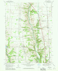
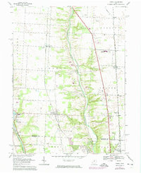
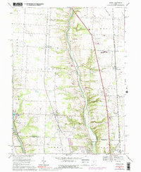
Editions of this 1967 Powell Map
4 editions found
Other maps of this area

1901 · Dublin
USGS Topo · 1:62,500

1902 · Westerville
USGS Topo · 1:62,500

1903 · Dublin
USGS Topo · 1:62,500

1904 · Westerville
USGS Topo · 1:62,500

1915 · Marengo
USGS Topo · 1:62,500

1924 · Delaware
USGS Topo · 1:62,500

1925 · Delaware
USGS Topo · 1:62,500

1943 · Marengo
USGS Topo · 1:62,500

1944 · Delaware
USGS Topo · 1:62,500

1950 · Marion
USGS Topo · 1:250,000