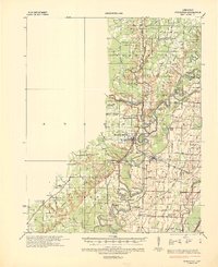
1935 Map of Powhatan
USGS Topo · Published 1936About this map
The confluence of the Eleven Point River, Spring River, and Black River dominates this mid-1930s landscape in Lawrence and Randolph Counties. This was a critical river-and-rail corridor where the St. Louis San Francisco Ry. follows the Black River through settlements like Black Rock and Portia. The map documents a complex hydrology of oxbows and sloughs, including Bull Fizzle Lake and Horseshoe Lake, alongside human engineering like the Francisco Ditch. A significant feature is the "Meander Line 1854" noted along the riverbanks, providing a rare benchmark for historical shoreline changes. This survey is particularly valuable for genealogists, as it identifies numerous rural community centers that combined spiritual and educational life, such as Lauderdale Ch Sch & Cem and Hubble Creek Ch & Sch, often located near river crossings like Gibson Ferry.
Find a feature on this map
80 named features on this map. Tap any name to fly to it.
Don’t see what you’re looking for? This feature index may not catch every label — zoom into the map to look around manually.
Map Details
Editions of this 1935 Powhatan Map
4 editions found
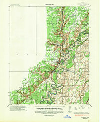
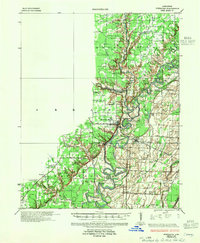
Other maps of this area

1932 · Strawberry
USGS Topo · 1:62,500

1932 · Walnut Ridge
USGS Topo · 1:62,500

1934 · Powhatan
USGS Topo · 1:62,500

1935 · Powhatan
USGS Topo · 1:62,500

1935 · Sedgwick
USGS Topo · 1:62,500

1935 · Alicia
USGS Topo · 1:62,500

1935 · Strawberry
USGS Topo · 1:62,500

1935 · Reyno
USGS Topo · 1:62,500

1935 · Walnut Ridge
USGS Topo · 1:62,500

1941 · Strawberry
USGS Topo · 1:62,500