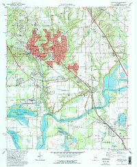
1981 Map of Prattville
USGS Topo · Published 1981About this map
Prattville expands northward across Autauga Creek toward the Illinois Central Gulf Railroad corridor in this early 1980s documentation. The landscape reveals a complex mix of civic infrastructure and industrial activity, from the Courthouse and City Hall downtown to the numerous Gravel Pits and Industrial Waste Ponds scattered near the Alabama River. Local history is preserved in small family and community burial grounds like Daniel Pratt Wit Cem and Oak Grove Cem. The presence of the Auburn University Prattville Experimental Field and the Maxwell Air Force Base boundary indicates a region shaped by institutional research and military proximity. To the south, the winding Alabama River and Jones Bluff Lake define the border between Autauga and Montgomery counties, while landmarks like Gin Shop Hill and Cobbs Ford provide physical links to the area's pioneer and industrial past.
Find a feature on this map
71 named features on this map. Tap any name to fly to it.
Don’t see what you’re looking for? This feature index may not catch every label — zoom into the map to look around manually.
Map Details
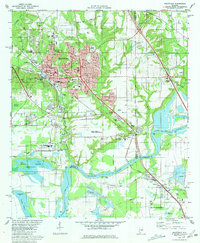
Editions of this 1981 Prattville Map
2 editions found
Other maps of this area

1891 · Clanton
USGS Topo · 1:125,000

1901 · Wetumpka
USGS Topo · 1:125,000

1903 · Wetumpka
USGS Topo · 1:125,000

1927 · Montgomery
USGS Topo · 1:48,000

1930 · Montgomery
USGS Topo · 1:62,500

1953 · Montgomery
USGS Topo · 1:250,000

1956 · Montgomery
USGS Topo · 1:250,000

1957 · Montgomery
USGS Topo · 1:250,000

1957 · Autaugaville
USGS Topo · 1:62,500

1958 · Montgomery
USGS Topo · 1:62,500