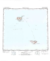
1948 Map of Pribilof Islands
USGS Topo · Published 1955About this map
St. Paul Island and St. George Island emerge from the Bering Sea in this post-war compilation of the Pribilof Islands. The map preserves the geography of the primary settlements at St Paul and St. George, alongside numerous named coastal landmarks such as Lukanin Bay and Village Cove. These volcanic islands, critical for the fur seal trade and bird populations, are shown with topographical precision derived from earlier hydrographic and Treasury Department charts.
Find a feature on this map
47 named features on this map. Tap any name to fly to it.
Don’t see what you’re looking for? This feature index may not catch every label — zoom into the map to look around manually.
Map Details
Editions of this 1948 Pribilof Islands Map
4 editions found
Other maps of this area
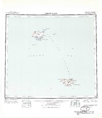
1949 · Pribilof Islands
USGS Topo · 1:250,000
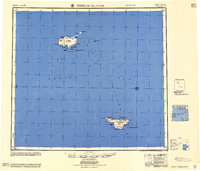
1958 · Pribilof Islands
USGS Topo · 1:250,000
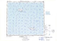
1969 · Pribilof Islands
USGS Topo · 1:250,000
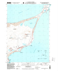
2001 · Saint Paul Island East
USGS Topo · 1:25,000
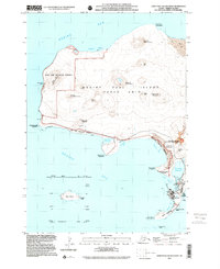
2001 · Saint Paul Island West
USGS Topo · 1:25,000
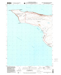
2001 · Saint George Island West
USGS Topo · 1:25,000
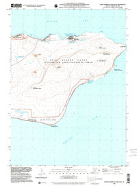
2001 · Saint George Island East
USGS Topo · 1:25,000
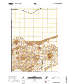
2020 · Pribilof Islands D-4 SW
USGS Topo · 1:25,000
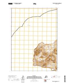
2020 · Pribilof Islands D-5 SE
USGS Topo · 1:25,000
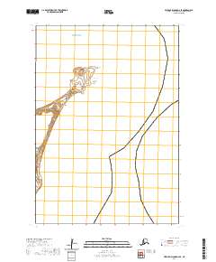
2020 · Pribilof Islands D-4 SE
USGS Topo · 1:25,000