
1912 Map of Prospect
USGS Topo · Published 1912About this map
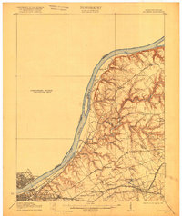
Louisville and its northeastern suburbs meet the Ohio River in this detailed look at early 20th-century Kentucky. The landscape is defined by the winding course of Harrods Creek and the organized infrastructure of the Waterworks and the Country Club near the riverbank. Further inland, the map captures a transition toward institutional and academic sites like the Lakeland Asylum and the Kentucky Military Institute.
Find a feature on this map
59 named features on this map. Tap any name to fly to it.
Don’t see what you’re looking for? This feature index may not catch every label — zoom into the map to look around manually.
Map Details
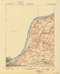
Editions of this 1912 Prospect Map
3 editions found
Other maps of this area

1905 · Prospect
USGS Topo · 1:62,500

1907 · Louisville
USGS Topo · 1:62,500

1909 · Kosmosdale
USGS Topo · 1:48,000

1912 · Kosmosdale
USGS Topo · 1:62,500

1929 · Taylorsville
USGS Topo · 1:62,500

1932 · La Grange
USGS Topo · 1:62,500

1937 · Jeffersonville
USGS Topo · 1:24,000

1937 · Charlestown
USGS Topo · 1:24,000

1938 · Owen
USGS Topo · 1:24,000

1938 · Speed
USGS Topo · 1:24,000