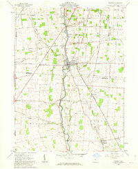
1961 Map of Prospect
USGS Topo · Published 1963About this map
The Scioto River anchors this landscape, dividing the agricultural plains of Marion and Delaware Counties as it flows past the village of Prospect. This early 1960s survey captures a rural Ohio community defined by its water crossings and small crossroads settlements, including Radnor, Centerville, and Newmans. The infrastructure of the era is clearly visible, from the tracks of the Erie Railroad and Chesapeake and Ohio to the various Gravel Pits that supported local road building.
Find a feature on this map
62 named features on this map. Tap any name to fly to it.
Don’t see what you’re looking for? This feature index may not catch every label — zoom into the map to look around manually.
Map Details
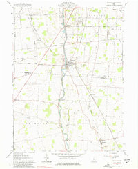
Editions of this 1961 Prospect Map
2 editions found
Other maps of this area

1903 · Marion
USGS Topo · 1:62,500

1905 · Marion
USGS Topo · 1:62,500

1913 · Richwood
USGS Topo · 1:62,500

1915 · Richwood
USGS Topo · 1:62,500

1915 · La Rue
USGS Topo · 1:62,500

1924 · Delaware
USGS Topo · 1:62,500

1925 · Delaware
USGS Topo · 1:62,500

1944 · Richwood
USGS Topo · 1:62,500

1944 · Delaware
USGS Topo · 1:62,500

1950 · Marion
USGS Topo · 1:250,000