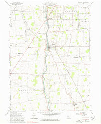
1961 Map of Prospect
USGS Topo · Published 1977About this map
The Scioto River defines the central axis of this Central Ohio landscape, where the village of Prospect sits at the crossing of major regional routes. The map records a complex historical boundary system, noting where the area west of the river lies within the Virginia Military District and the land to the east belongs to the United States Military District, separated by the Boundary Line known as the Greenville Treaty Line. This division influenced early land ownership and road patterns still visible in the 1960s.
Find a feature on this map
62 named features on this map. Tap any name to fly to it.
Don’t see what you’re looking for? This feature index may not catch every label — zoom into the map to look around manually.
Map Details
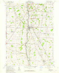
Editions of this 1961 Prospect Map
2 editions found
Other maps of this area

1903 · Marion
USGS Topo · 1:62,500

1905 · Marion
USGS Topo · 1:62,500

1913 · Richwood
USGS Topo · 1:62,500

1915 · Richwood
USGS Topo · 1:62,500

1915 · La Rue
USGS Topo · 1:62,500

1924 · Delaware
USGS Topo · 1:62,500

1925 · Delaware
USGS Topo · 1:62,500

1944 · Richwood
USGS Topo · 1:62,500

1944 · Delaware
USGS Topo · 1:62,500

1950 · Marion
USGS Topo · 1:250,000