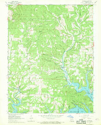
1968 Map of Protem
USGS Topo · Published 1969About this map
The Mark Twain National Forest dominates the northern half of this Ozark landscape, where ridges like Goetz Ridge and Racetrack Ridge break into a series of deep hollows. In the south, the terrain descends toward the White River and the expanding waters of Bull Shoals Lake. The map reveals a transition in the late 1960s as the rising lake level affects the river valleys, with areas like Nolands Point and the Clark Landing Strip serving the recreational and transit needs of the area.
Find a feature on this map
62 named features on this map. Tap any name to fly to it.
Don’t see what you’re looking for? This feature index may not catch every label — zoom into the map to look around manually.
Map Details
Editions of this 1968 Protem Map
2 editions found
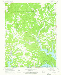
Other maps of this area

1893 · Yellville
USGS Topo · 1:125,000

1903 · Yellville
USGS Topo · 1:125,000

1905 · Yellville
USGS Topo · 1:125,000

1929 · Yellville
USGS Topo · 1:125,000

1936 · Thornfield
USGS Topo · 1:48,000

1943 · Protem
USGS Topo · 1:62,500

1943 · Thornfield
USGS Topo · 1:62,500

1945 · Harrison
USGS Topo · 1:250,000

1945 · Thornfield
USGS Topo · 1:62,500

1949 · Harrison
USGS Topo · 1:250,000