
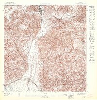
1946 Map of Punta Cuchara
USGS Topo · Published 1946About this map
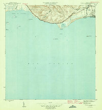
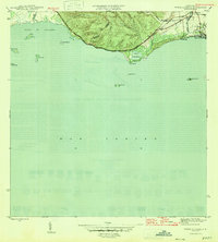
Hacienda Matilde and the coastal outskirts of Playa de Ponce define this 1940s landscape along the southern coast of Puerto Rico. The American Railroad parallels the shoreline, connecting the industrial and agricultural zones between Encarnación and the harbor. Just inland from the lighthouse at Faro on Cayo Cardona, the map shows the transition from the hills of Canas down to the sea, where the U S Mil Res sits near the mouth of the Río Matilde. This survey provides a look at the interplay between land and water before major late-century modernization, detailing the numerous cays such as Cayo Ratones and Cayo Caribe that dot the Bahía de Tallaboa. Notable local identifiers like the W P A B radio site and the salt marshes of Laguna de las Salinas offer specific points of interest for historical research.
Find a feature on this map
29 named features on this map. Tap any name to fly to it.
Don’t see what you’re looking for? This feature index may not catch every label — zoom into the map to look around manually.
Map Details
Editions of this 1946 Punta Cuchara Map
3 editions found
Other maps of this area

1945 · Playa De Ponce
USGS Topo · 1:30,000

1945 · Ponce
USGS Topo · 1:30,000

1946 · Yauco
USGS Topo · 1:30,000

1946 · Punta Verraco
USGS Topo · 1:30,000

1946 · Penuelas
USGS Topo · 1:30,000

1947 · Punta Gughara NE
USGS Topo · 1:10,000
1947 · Yauco SE
USGS Topo · 1:10,000

1947 · Ponce SO
USGS Topo · 1:10,000
1947 · Punta Verraco NE
USGS Topo · 1:10,000
1947 · Penuelas SO
USGS Topo · 1:10,000