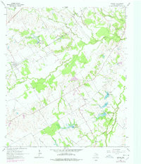
1965 Map of Purdon
USGS Topo · Published 1978About this map
The St Louis Southwestern railroad cuts diagonally through this corner of Navarro County, anchoring the small community of Purdon. The landscape is defined by the winding course of Richland Creek and its many tributaries, including Rush Creek, Briar Creek, and Melton Branch. This mid-century survey shows a rural environment transitioning toward managed water resources, evidenced by a series of numbered flood control structures like Dam No 32 and Dam No 33.
Find a feature on this map
21 named features on this map. Tap any name to fly to it.
Don’t see what you’re looking for? This feature index may not catch every label — zoom into the map to look around manually.
Map Details
Editions of this 1965 Purdon Map
2 editions found
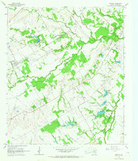
Other maps of this area

1954 · Dallas
USGS Topo · 1:250,000

1954 · Waco
USGS Topo · 1:250,000

1955 · Waco
USGS Topo · 1:250,000

1956 · Dawson
USGS Topo · 1:24,000

1958 · Dallas
USGS Topo · 1:250,000

1963 · Richland
USGS Topo · 1:24,000

1963 · Wortham
USGS Topo · 1:24,000
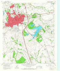
1965 · Corsicana
USGS Topo · 1:24,000

1965 · Coolidge
USGS Topo · 1:24,000
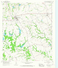
1965 · Blooming Grove
USGS Topo · 1:24,000