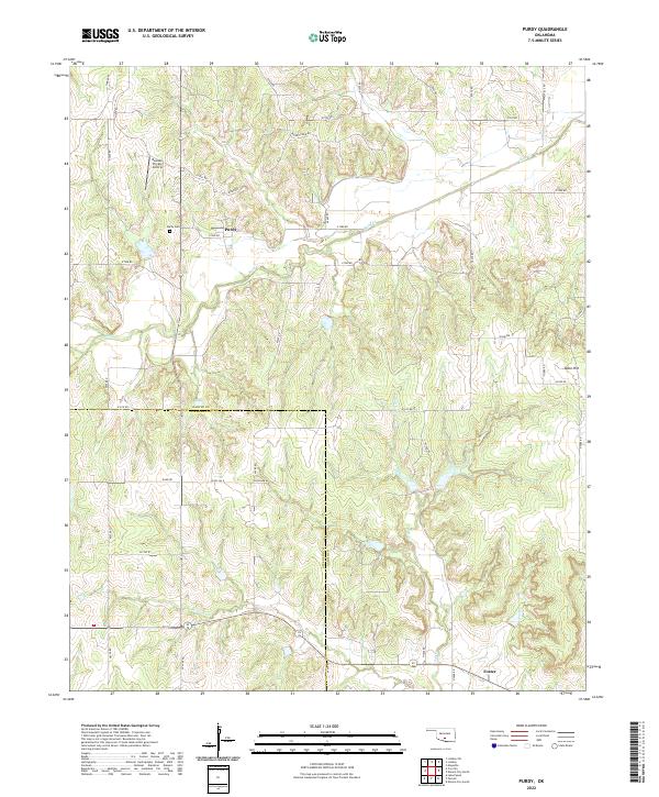
2022 Map of Purdy
USGS Topo · Published 2022About this map
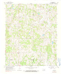
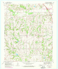
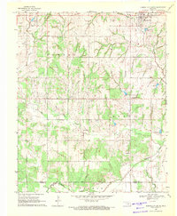
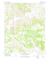
Purdy and Foster serve as the primary nodes of settlement in this rural landscape spanning the border of Garvin and Stephens Counties. The terrain is defined by a dense network of drainage systems, including the westward-flowing Rush Cr and the southerly Salt Cr and Wildcat Cr. Local infrastructure is characterized by a grid of section-line roads, such as Goad Rd and Ballpark Rd, which connect remote homesteads and agricultural tracts. Genealogy interests are centered at the Purdy Cem west of the main settlement, while the Bearden Private Airstrip indicates modern localized aviation. In the east, the prominent elevation of Table Hill rises above the surrounding creek valleys, marking a significant topographical landmark in an area otherwise dominated by small-scale farming and ranching operations.
Find a feature on this map
46 named features on this map. Tap any name to fly to it.
Don’t see what you’re looking for? This feature index may not catch every label — zoom into the map to look around manually.
Map Details
Editions of this 2022 Purdy Map
This is the sole edition of this map. No revisions or reprints were ever made.
Historical Maps of Purdy Through Time
16 maps found
1965 Byars SW
Garvin County, OK
1965 Joy
Garvin County, OK
1965 Pauls Valley NE
Garvin County, OK
1967 Hart
Garvin County, OK
1969 Elmore City NE
Garvin County, OK

1969 Elmore City North
Garvin County, OK
1969 Elmore City South
Garvin County, OK
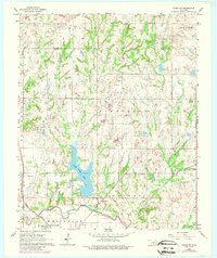
1974 Purdy
Garvin County, OK
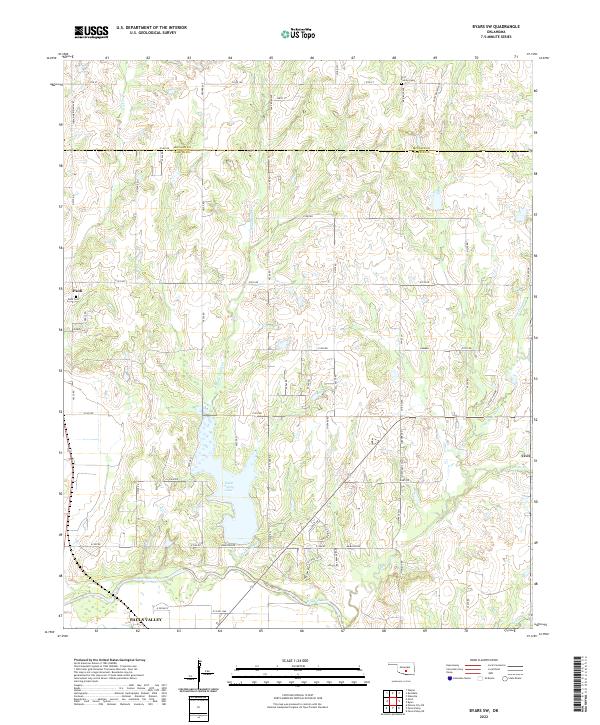
2022 Byars SW
Garvin County, OK
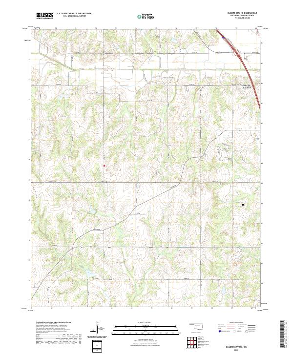
2022 Elmore City NE
Garvin County, OK
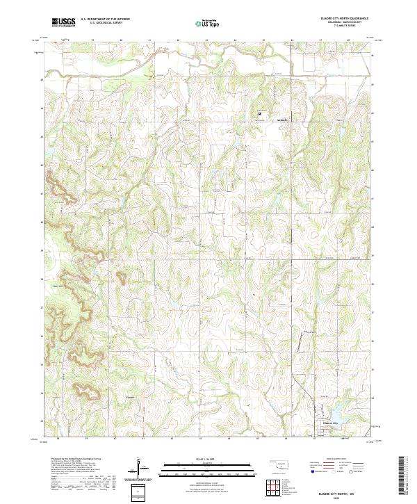
2022 Elmore City North
Garvin County, OK
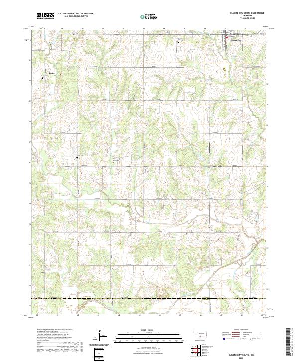
2022 Elmore City South
Garvin County, OK
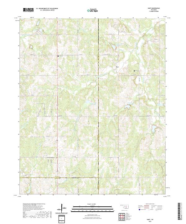
2022 Hart
Garvin County, OK
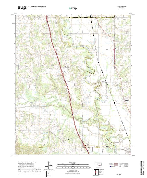
2022 Joy
Garvin County, OK
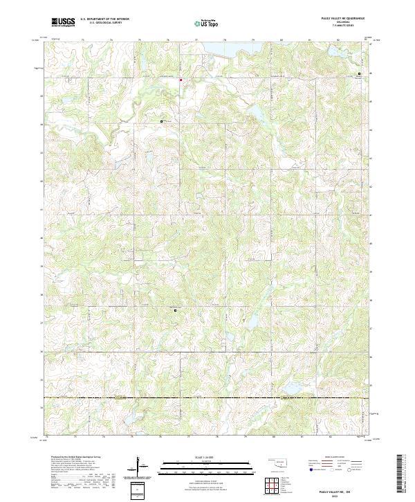
2022 Pauls Valley NE
Garvin County, OK
2022 Purdy
Garvin County, OK