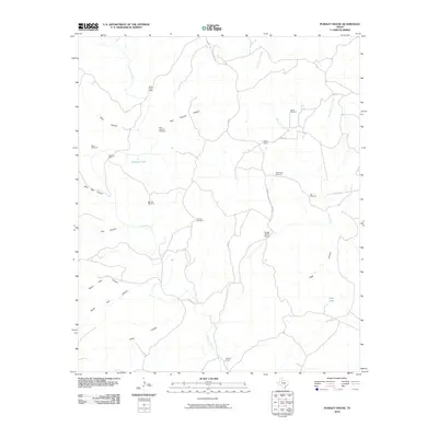
2010 Map of Pursley House
USGS Topo · Published 2010About this map
Pursley House serves as a lone landmark in this ranch-dominated landscape of King County, where the terrain is defined by an intricate network of deep canyons and seasonal water sources. The map documents a sparsely populated cattle country during the early 21st century, punctuated by scattered infrastructure such as the Beggs Ranch Airport and the Keller Field Camp. Water management is the primary human imprint on the land, evidenced by a high density of named windmills including White Face Windmill, Salt Windmill, and the Sullivan Windmill. These features, along with stock tanks like Getaway Tank and Sage Tank, facilitate livestock operations across a rugged topography carved by Croton Creek and its many tributaries. The area is further characterized by uniquely named landforms such as John Bell Canyon, North Pole Canyon, and Dark Canyon.
Find a feature on this map
31 named features on this map. Tap any name to fly to it.
Don’t see what you’re looking for? This feature index may not catch every label — zoom into the map to look around manually.
Map Details
Editions of this 2010 Pursley House Map
This is the sole edition of this map. No revisions or reprints were ever made.
Other maps of this area

1954 · Lubbock
USGS Topo · 1:250,000

1958 · Pursley House
USGS Topo · 1:24,000

1958 · Southerland Canyon
USGS Topo · 1:24,000

1958 · Seven Diamond L Canyon
USGS Topo · 1:24,000

1958 · Jayton
USGS Topo · 1:24,000

1959 · Gilpin
USGS Topo · 1:24,000

1959 · Girard
USGS Topo · 1:24,000

1968 · Pitchfork Ranch
USGS Topo · 1:24,000

1968 · Croton Camp
USGS Topo · 1:24,000

1968 · Pitchfork Flats
USGS Topo · 1:24,000