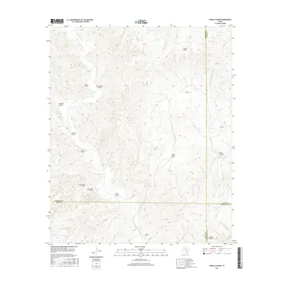
2016 Map of Pursley House
USGS Topo · Published 2016About this map
Pursley House stands as a central human landmark in this section of the West Texas breaks, where the boundaries of King, Dickens, Kent, and Stonewall counties converge. The landscape is defined by a complex network of drainage systems, most notably Croton Cr and its northern branch, which have carved numerous deep draws and breaks across the terrain. These natural features often bear the names of local figures or colorful descriptors, such as John Bell Canyon, Bird Pouroff Canyon, and the curious pairing of North Pole Canyon and South Pole Canyon. Transportation and connectivity in this remote ranching country are maintained through a sparse grid of county roads and the private Beggs Ranch Airport, illustrating the necessity of air travel for large-scale agricultural operations. Water management is evidenced by livestock-related features like Sage Tank and Getaway Tank, which are vital for cattle in this arid environment.
Find a feature on this map
29 named features on this map. Tap any name to fly to it.
Don’t see what you’re looking for? This feature index may not catch every label — zoom into the map to look around manually.
Map Details
Editions of this 2016 Pursley House Map
This is the sole edition of this map. No revisions or reprints were ever made.
Other maps of this area

1954 · Lubbock
USGS Topo · 1:250,000

1958 · Pursley House
USGS Topo · 1:24,000

1958 · Southerland Canyon
USGS Topo · 1:24,000

1958 · Seven Diamond L Canyon
USGS Topo · 1:24,000

1958 · Jayton
USGS Topo · 1:24,000

1959 · Gilpin
USGS Topo · 1:24,000

1959 · Girard
USGS Topo · 1:24,000

1968 · Pitchfork Ranch
USGS Topo · 1:24,000

1968 · Croton Camp
USGS Topo · 1:24,000

1968 · Pitchfork Flats
USGS Topo · 1:24,000