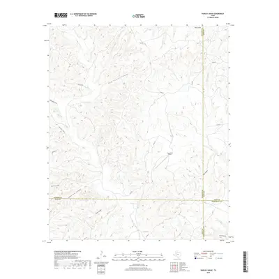
2019 Map of Pursley House
USGS Topo · Published 2019About this map
Pursley House serves as a lone namesake landmark in this remote corner of West Texas where King, Dickens, Kent, and Stonewall counties meet. The landscape is defined by a complex network of erosional drainage, with major watercourses like Croton Cr and its northern branch, N Croton Cr, cutting through the terrain. The presence of Beggs Ranch Airport highlights the importance of private aviation in managing these expansive ranching lands.
Find a feature on this map
29 named features on this map. Tap any name to fly to it.
Don’t see what you’re looking for? This feature index may not catch every label — zoom into the map to look around manually.
Map Details
Editions of this 2019 Pursley House Map
This is the sole edition of this map. No revisions or reprints were ever made.
Other maps of this area

1954 · Lubbock
USGS Topo · 1:250,000

1958 · Pursley House
USGS Topo · 1:24,000

1958 · Southerland Canyon
USGS Topo · 1:24,000

1958 · Seven Diamond L Canyon
USGS Topo · 1:24,000

1958 · Jayton
USGS Topo · 1:24,000

1959 · Gilpin
USGS Topo · 1:24,000

1959 · Girard
USGS Topo · 1:24,000

1968 · Pitchfork Ranch
USGS Topo · 1:24,000

1968 · Croton Camp
USGS Topo · 1:24,000

1968 · Pitchfork Flats
USGS Topo · 1:24,000