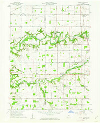
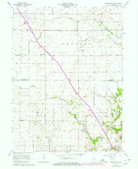
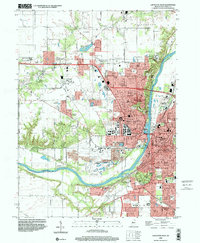
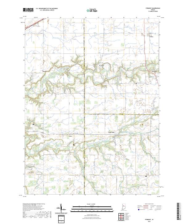
1961 Map of Pyrmont
USGS Topo · Published 1962This historical map portrays the area of Pyrmont in 1961, primarily covering Tippecanoe County as well as portions of Clinton County and Carroll County. Featuring a scale of 1:24000, this map provides a highly detailed snapshot of the terrain, roads, buildings, counties, and historical landmarks in the Pyrmont region at the time. Published in 1962, it is one of 2 known editions of this map due to revisions or reprints.
Find a feature on this map
53 named features on this map. Tap any name to fly to it.
Don’t see what you’re looking for? This feature index may not catch every label — zoom into the map to look around manually.
Map Details
Editions of this 1961 Pyrmont Map
2 editions found
Historical Maps of Carroll County Through Time
14 maps found
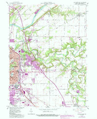
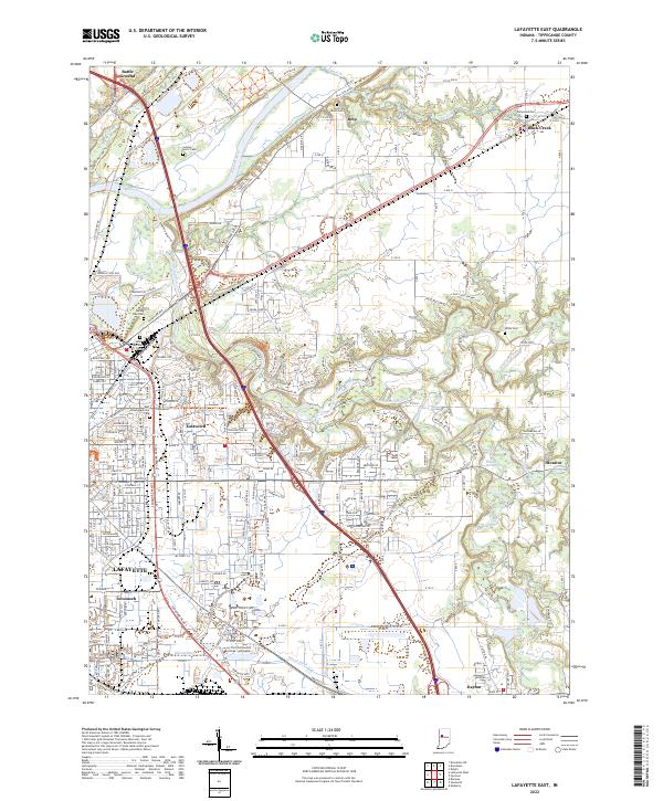
1961 Lafayette East
Tippecanoe County, IN
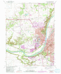
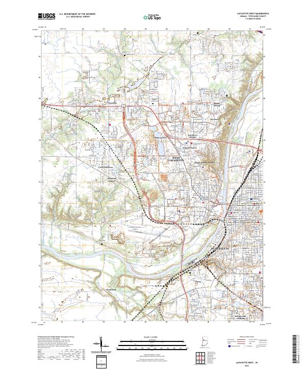
1961 Lafayette West
Tippecanoe County, IN
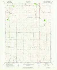
1961 Pyrmont
Tippecanoe County, IN
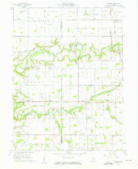
1962 Brookston SW
Tippecanoe County, IN
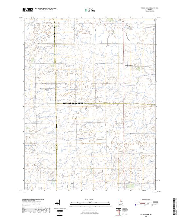
1962 Round Grove
Tippecanoe County, IN
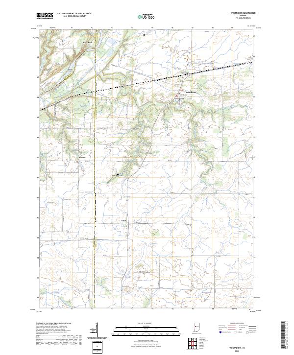
1962 Westpoint
Tippecanoe County, IN
1998 Lafayette East
Tippecanoe County, IN
1998 Lafayette West
Tippecanoe County, IN
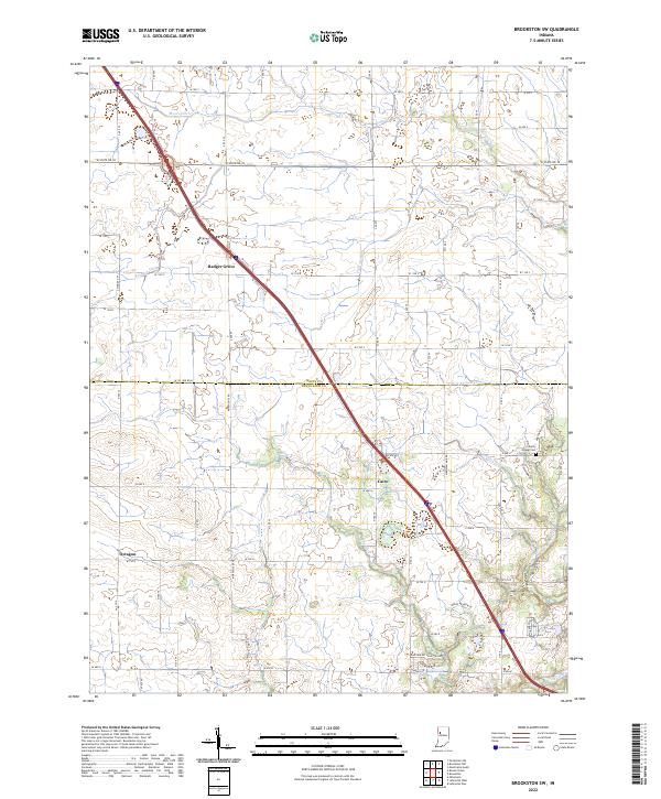
2022 Brookston SW
Tippecanoe County, IN
2022 Lafayette East
Tippecanoe County, IN
2022 Lafayette West
Tippecanoe County, IN
2022 Pyrmont
Tippecanoe County, IN
2022 Round Grove
Tippecanoe County, IN
2022 Westpoint
Tippecanoe County, IN