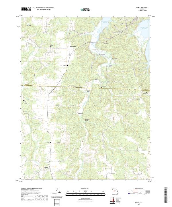
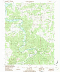
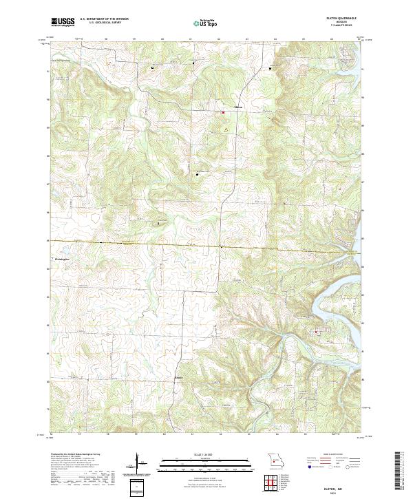
2021 Map of Quincy
USGS Topo · Published 2021About this map
The Little Pomme de Terre River and Harry S Truman Reservoir define the northern and eastern reaches of this Missouri landscape, where the plateau drops into numerous named hollows. This recent survey captures the rural layout of Bentonville and Quincy, connected by a network of state routes and county roads. For genealogists, the map is particularly rich in family and local burial sites, documenting Shiloh Cem, Cobb Cem, Bird Cem, Blackwell Cem, Beyers Cem, Harper Cem, and Mount Zion Cem across the high ground between the river forks. Notable terrain features like Tick Ridge and Gist Ridge sit among a series of deep drainages such as Trinity Hollow and Buck Hollow, illustrating the local topography that has influenced land use in Hickory and Benton Counties for generations.
Find a feature on this map
67 named features on this map. Tap any name to fly to it.
Don’t see what you’re looking for? This feature index may not catch every label — zoom into the map to look around manually.
Map Details
Editions of this 2021 Quincy Map
This is the sole edition of this map. No revisions or reprints were ever made.
Historical Maps of Quincy Through Time
17 maps found

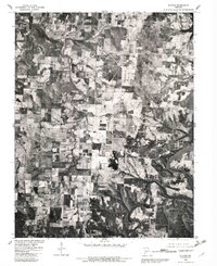
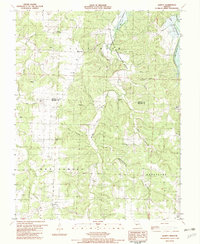
1942 Elkton
Hickory County, MO
1949 Elkton
Hickory County, MO
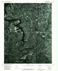
1949 Sentinel
Hickory County, MO

1950 Elkton
Hickory County, MO
1950 Sentinel
Hickory County, MO
1980 Elkton
Hickory County, MO
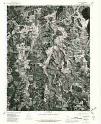
1980 Fristoe
Hickory County, MO
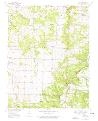
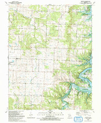
1980 Quincy
Hickory County, MO

1980 Sentinel
Hickory County, MO
1982 Fristoe
Hickory County, MO
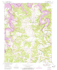
1982 Quincy
Hickory County, MO
1991 Elkton
Hickory County, MO
1991 Sentinel
Hickory County, MO
2021 Elkton
Hickory County, MO
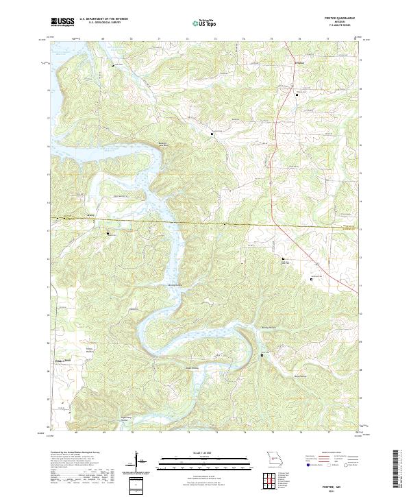
2021 Fristoe
Hickory County, MO
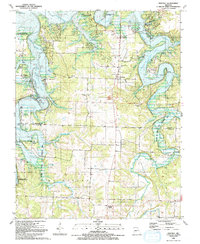
2021 Quincy
Hickory County, MO
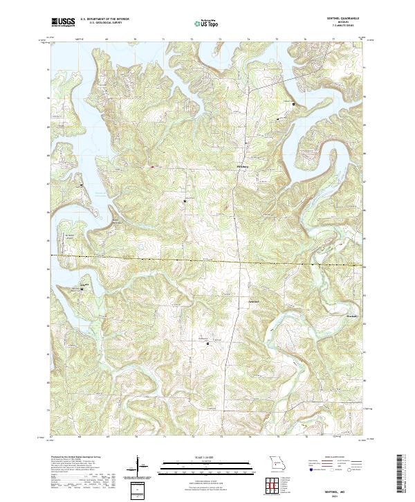
2021 Sentinel
Hickory County, MO