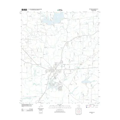
2012 Map of Quitman
USGS Topo · Published 2012About this map
Quitman serves as the focal point of this Wood County landscape, where small-scale agriculture and the petroleum industry have long shaped the local economy. The town's grid is surrounded by a complex network of creeks and small reservoirs, including Lake Quitman to the north and a cluster of smaller water bodies like New Wells Lake Number 1 and Wells Lake Number 2 to the south. Significant oil and gas operations are evident through the Quitman Oil Field, Coats Oil Field, and Merigale-Paul Oil Field, highlighting the region's reliance on natural resources. For those researching local family history, several burial grounds are scattered across the rural countryside, including Price Cem, Ingram Cem, and Shiloh Cem. The terrain is defined by its many drainage systems, such as Myrtle Springs Br and Dry Cr, which feed into larger basins like Lake Fork Cr.
Find a feature on this map
164 named features on this map. Tap any name to fly to it.
Don’t see what you’re looking for? This feature index may not catch every label — zoom into the map to look around manually.
Map Details
Editions of this 2012 Quitman Map
This is the sole edition of this map. No revisions or reprints were ever made.
Other maps of this area

1956 · Tyler
USGS Topo · 1:250,000

1959 · Calvary
USGS Topo · 1:24,000

1959 · Golden
USGS Topo · 1:24,000

1959 · Yantis
USGS Topo · 1:24,000

1959 · Grand Saline
USGS Topo · 1:62,500

1959 · Alba
USGS Topo · 1:62,500

1960 · Hainesville
USGS Topo · 1:24,000

1960 · Winnsboro
USGS Topo · 1:24,000

1960 · Mineola
USGS Topo · 1:24,000

1960 · Cartwright
USGS Topo · 1:24,000