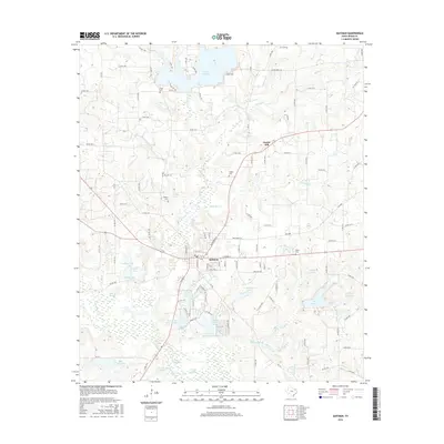
2016 Map of Quitman
USGS Topo · Published 2016About this map
Quitman serves as the central hub of this East Texas landscape, where the town street grid intersects with a complex network of county roads and state highways. To the north, the significant waters of Lake Quitman dominate the terrain, fed by tributaries like Brushy Creek and Dry Creek. The area is notably defined by its numerous smaller bodies of water, including Greens Lake, Lake Lydia, and a series of numbered reservoirs such as Wells Lake Number 4.
Find a feature on this map
120 named features on this map. Tap any name to fly to it.
Don’t see what you’re looking for? This feature index may not catch every label — zoom into the map to look around manually.
Map Details
Editions of this 2016 Quitman Map
This is the sole edition of this map. No revisions or reprints were ever made.
Other maps of this area

1956 · Tyler
USGS Topo · 1:250,000

1959 · Calvary
USGS Topo · 1:24,000

1959 · Golden
USGS Topo · 1:24,000

1959 · Yantis
USGS Topo · 1:24,000

1959 · Grand Saline
USGS Topo · 1:62,500

1959 · Alba
USGS Topo · 1:62,500

1960 · Hainesville
USGS Topo · 1:24,000

1960 · Winnsboro
USGS Topo · 1:24,000

1960 · Mineola
USGS Topo · 1:24,000

1960 · Cartwright
USGS Topo · 1:24,000