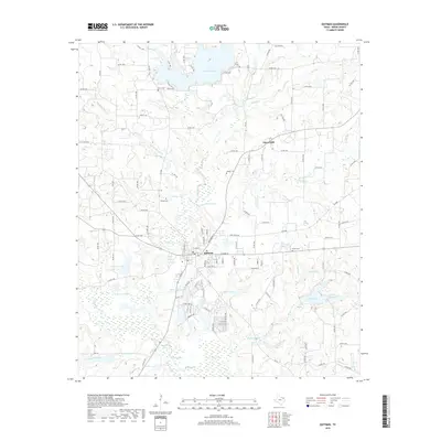
2019 Map of Quitman
USGS Topo · Published 2019About this map
Quitman serves as the focal point for this Wood County landscape, where the town's street grid meets a complex network of wetlands and reservoirs. The area is defined by its abundance of water, featuring significant bodies like Lake Quitman to the north and the recreational waters of Lake Lydia and Quitman Club Lake to the east. The terrain is intricately carved by numerous drainages, including Muddy Cr, Myrtle Springs Br, and Glade Cr, which feed into the larger Lake Fork Cr system.
Find a feature on this map
129 named features on this map. Tap any name to fly to it.
Don’t see what you’re looking for? This feature index may not catch every label — zoom into the map to look around manually.
Map Details
Editions of this 2019 Quitman Map
This is the sole edition of this map. No revisions or reprints were ever made.
Other maps of this area

1956 · Tyler
USGS Topo · 1:250,000

1959 · Calvary
USGS Topo · 1:24,000

1959 · Golden
USGS Topo · 1:24,000

1959 · Yantis
USGS Topo · 1:24,000

1959 · Grand Saline
USGS Topo · 1:62,500

1959 · Alba
USGS Topo · 1:62,500

1960 · Hainesville
USGS Topo · 1:24,000

1960 · Winnsboro
USGS Topo · 1:24,000

1960 · Mineola
USGS Topo · 1:24,000

1960 · Cartwright
USGS Topo · 1:24,000