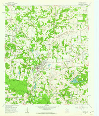
1960 Map of Quitman
USGS Topo · Published 1962About this map
Quitman serves as the focal point of this Wood County landscape, where the town’s grid is surrounded by a dense network of water bodies and creek drainages. To the north, the Manziel Oil Field indicates the region's mid-century petroleum activity, supported by a Refinery and numerous sludge pits. The terrain is marked by family and community history, evidenced by small rural schoolhouses like Cana Sch and several country churches including Cloverhill Ch and Myrtle Springs Ch.
Find a feature on this map
48 named features on this map. Tap any name to fly to it.
Don’t see what you’re looking for? This feature index may not catch every label — zoom into the map to look around manually.
Map Details
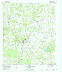
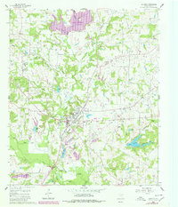
Editions of this 1960 Quitman Map
3 editions found
Other maps of this area

1956 · Tyler
USGS Topo · 1:250,000
1959 · Calvary
USGS Topo · 1:24,000
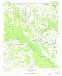
1959 · Golden
USGS Topo · 1:24,000
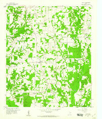
1959 · Yantis
USGS Topo · 1:24,000
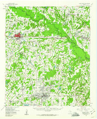
1959 · Grand Saline
USGS Topo · 1:62,500
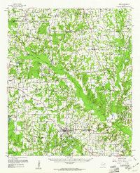
1959 · Alba
USGS Topo · 1:62,500
1960 · Hainesville
USGS Topo · 1:24,000
1960 · Winnsboro
USGS Topo · 1:24,000
1960 · Mineola
USGS Topo · 1:24,000
1960 · Cartwright
USGS Topo · 1:24,000