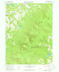
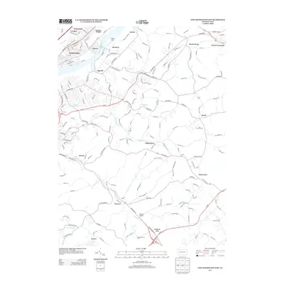
1964 Map of Rachelwood
USGS Topo · Published 1973About this map
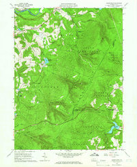
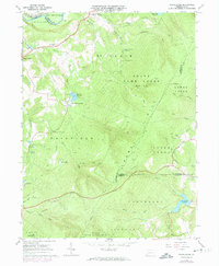
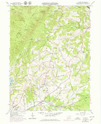
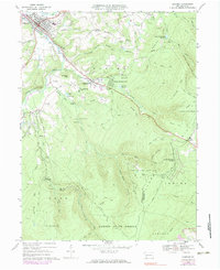
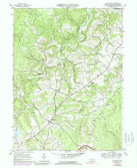
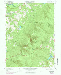
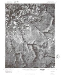
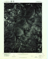
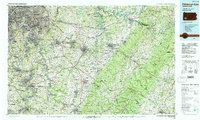
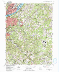
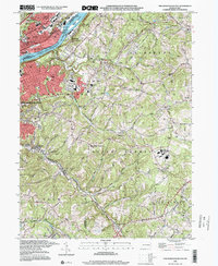
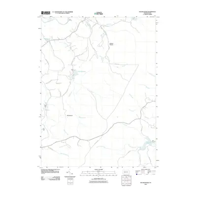
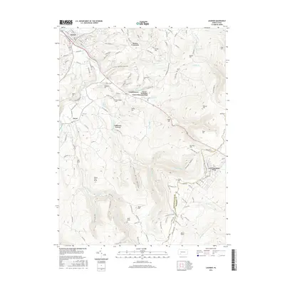
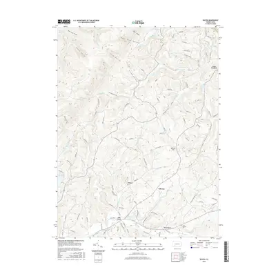
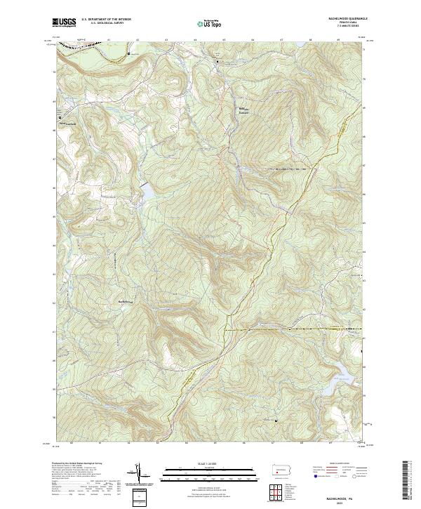
Laurel Hill dominates this 1964 survey of the Westmoreland, Cambria, and Somerset borderlands, revealing a landscape defined by forest management and water resources. The high ground of State Game Lands No 42 covers much of the terrain, while the valleys show a transition from industrial legacies like the Baldwin Furnace to mid-century recreation at Ross Mountain Park and Camp Twin Echo. Along the northern edge, the Conemaugh River corridor serves as a vital transport artery, featuring the Penn Central rail line and an Old Railroad Grade. Smaller settlements such as West Fairfield and Rachelwood provide a glimpse into the local rural community, anchored by landmarks like the Laurel Valley High Sch and the uniquely named Church in the Wilderness. Water infrastructure is prominent, with the New Florence Reservoir and North Fork Reservoir feeding the surrounding population centers.
Find a feature on this map
59 named features on this map. Tap any name to fly to it.
Don’t see what you’re looking for? This feature index may not catch every label — zoom into the map to look around manually.
Map Details
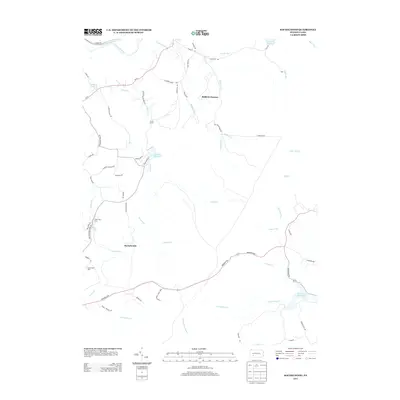
Editions of this 1964 Rachelwood Map
3 editions found
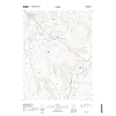
Historical Maps of Jenner Township Through Time
37 maps found
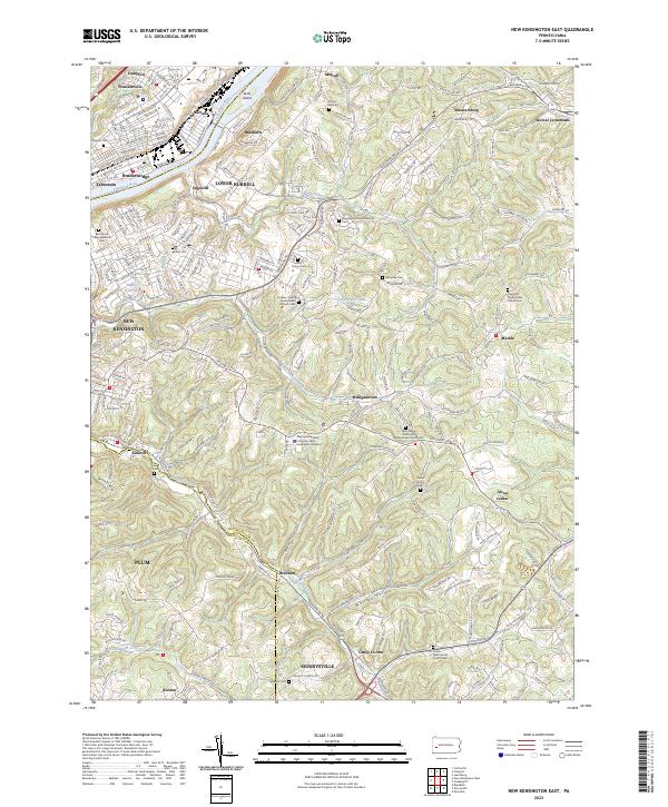
1953 New Kensington East
Westmoreland County, PA
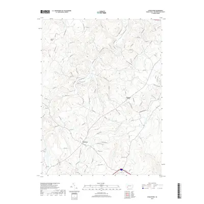
1964 Rachelwood
Westmoreland County, PA
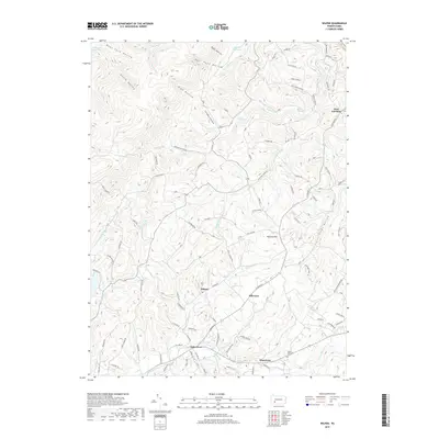
1964 Wilpen
Westmoreland County, PA
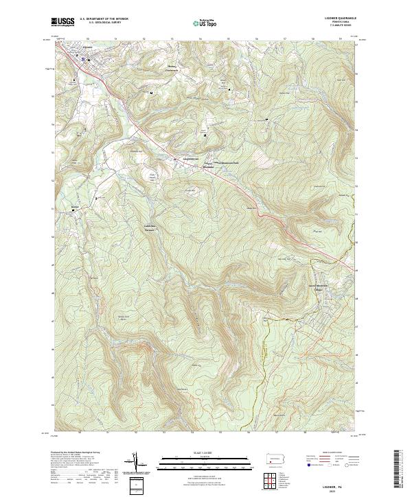
1967 Ligonier
Westmoreland County, PA
1967 Stahlstown
Westmoreland County, PA
1973 Rachelwood
Westmoreland County, PA
1977 Ligonier
Westmoreland County, PA
1977 Rachelwood
Westmoreland County, PA
1986 Pittsburgh East
Westmoreland County, PA
1993 New Kensington East
Westmoreland County, PA
1998 New Kensington East
Westmoreland County, PA
1998 Rachelwood
Westmoreland County, PA
2010 Ligonier
Westmoreland County, PA
2010 New Kensington East
Westmoreland County, PA
2010 Rachelwood
Westmoreland County, PA
2010 Stahlstown
Westmoreland County, PA
2010 Wilpen
Westmoreland County, PA
2013 Ligonier
Westmoreland County, PA
2013 New Kensington East
Westmoreland County, PA
2013 Rachelwood
Westmoreland County, PA
2013 Stahlstown
Westmoreland County, PA
2013 Wilpen
Westmoreland County, PA
2016 Ligonier
Westmoreland County, PA
2016 New Kensington East
Westmoreland County, PA
2016 Rachelwood
Westmoreland County, PA
2016 Stahlstown
Westmoreland County, PA
2016 Wilpen
Westmoreland County, PA
2019 Ligonier
Westmoreland County, PA
2019 New Kensington East
Westmoreland County, PA
2019 Rachelwood
Westmoreland County, PA
2019 Stahlstown
Westmoreland County, PA
2019 Wilpen
Westmoreland County, PA
2023 Ligonier
Westmoreland County, PA
2023 New Kensington East
Westmoreland County, PA
2023 Rachelwood
Westmoreland County, PA
2023 Stahlstown
Westmoreland County, PA
2023 Wilpen
Westmoreland County, PA
Featured Locations
- Jenner Township, PA
- Conemaugh Township, PA
- Fairfield Township, PA
- Ligonier Township, PA
- Lower Yoder Township, PA