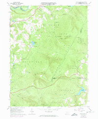
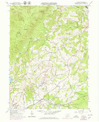
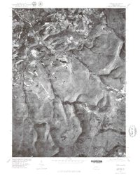
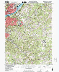
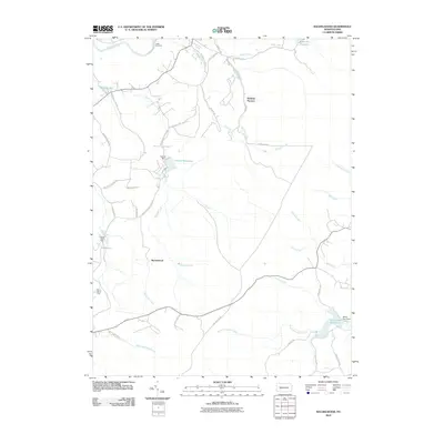
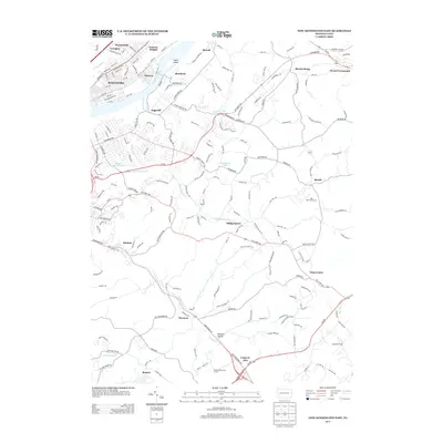
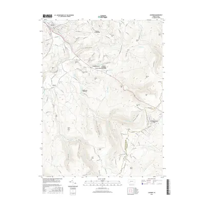
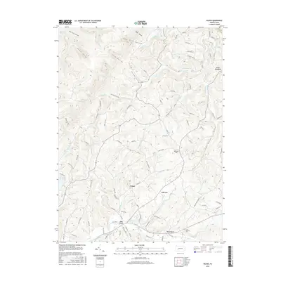
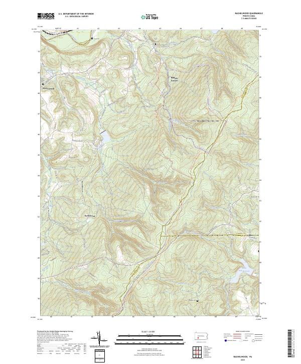
1964 Map of Rachelwood
USGS Topo · Published 1974About this map
Laurel Hill dominates this Pennsylvania landscape, where the intersections of Indiana, Westmoreland, Cambria, and Somerset counties meet amidst a complex network of narrow hollows and high ridges. The area reflects a mid-century period of land management and industrial heritage, evidenced by the expansive State Game Lands No 42 and the historic Baldwin Furnace site on Baldwin Creek. Settlement is concentrated in small pockets such as West Fairfield and the railroad-adjacent India, while recreational and social spaces like Ross Mountain Park, Camp Twin Echo, and the Church in the Wilderness occupy the more secluded forest margins.
Find a feature on this map
51 named features on this map. Tap any name to fly to it.
Don’t see what you’re looking for? This feature index may not catch every label — zoom into the map to look around manually.
Map Details
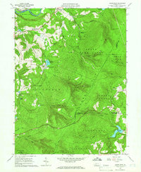
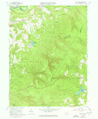
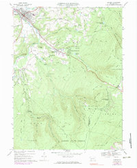
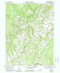
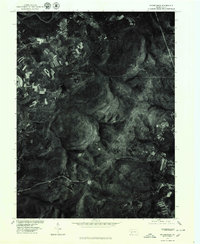
Editions of this 1964 Rachelwood Map
3 editions found
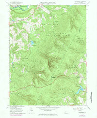
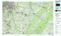
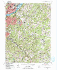
Historical Maps of Jenner Township Through Time
37 maps found
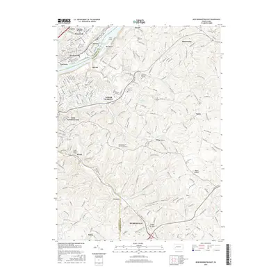
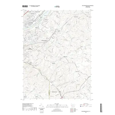
1953 New Kensington East
Westmoreland County, PA
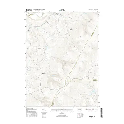
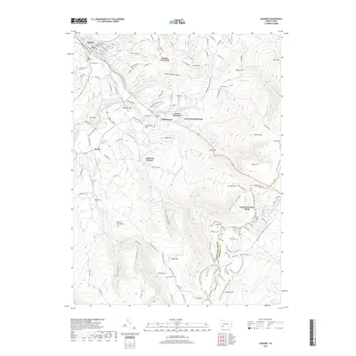
1964 Rachelwood
Westmoreland County, PA
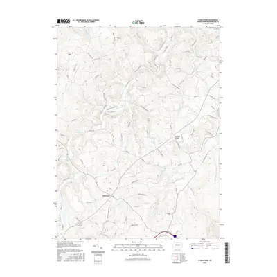
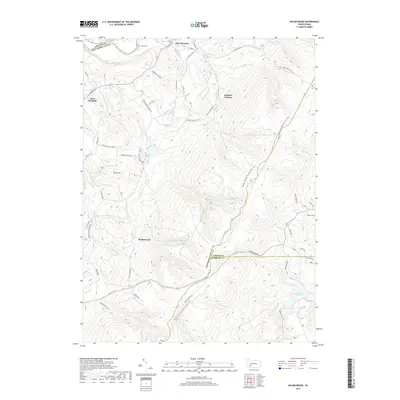
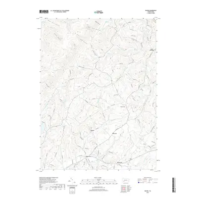
1964 Wilpen
Westmoreland County, PA
1967 Ligonier
Westmoreland County, PA
1967 Stahlstown
Westmoreland County, PA
1973 Rachelwood
Westmoreland County, PA
1977 Ligonier
Westmoreland County, PA
1977 Rachelwood
Westmoreland County, PA
1986 Pittsburgh East
Westmoreland County, PA
1993 New Kensington East
Westmoreland County, PA
1998 New Kensington East
Westmoreland County, PA
1998 Rachelwood
Westmoreland County, PA
2010 Ligonier
Westmoreland County, PA
2010 New Kensington East
Westmoreland County, PA
2010 Rachelwood
Westmoreland County, PA
2010 Stahlstown
Westmoreland County, PA
2010 Wilpen
Westmoreland County, PA
2013 Ligonier
Westmoreland County, PA
2013 New Kensington East
Westmoreland County, PA
2013 Rachelwood
Westmoreland County, PA
2013 Stahlstown
Westmoreland County, PA
2013 Wilpen
Westmoreland County, PA
2016 Ligonier
Westmoreland County, PA
2016 New Kensington East
Westmoreland County, PA
2016 Rachelwood
Westmoreland County, PA
2016 Stahlstown
Westmoreland County, PA
2016 Wilpen
Westmoreland County, PA
2019 Ligonier
Westmoreland County, PA
2019 New Kensington East
Westmoreland County, PA
2019 Rachelwood
Westmoreland County, PA
2019 Stahlstown
Westmoreland County, PA
2019 Wilpen
Westmoreland County, PA
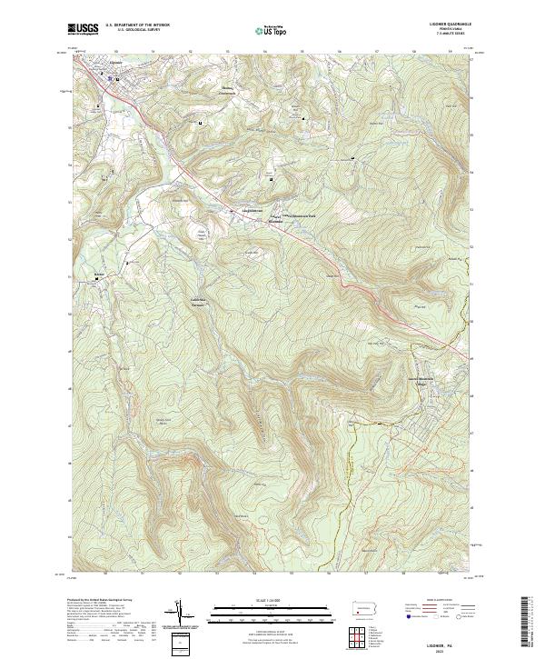
2023 Ligonier
Westmoreland County, PA
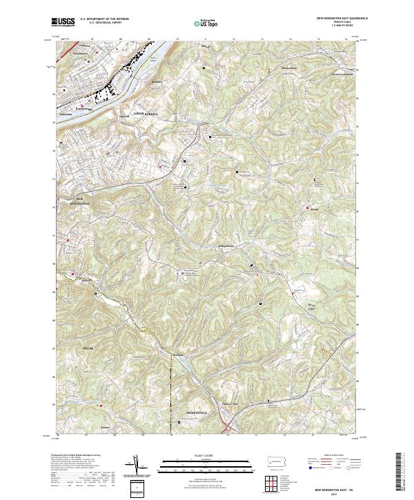
2023 New Kensington East
Westmoreland County, PA
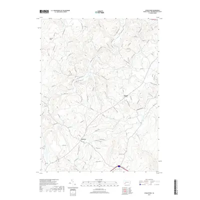
2023 Rachelwood
Westmoreland County, PA
2023 Stahlstown
Westmoreland County, PA
2023 Wilpen
Westmoreland County, PA
Featured Locations
- Jenner Township, PA
- Conemaugh Township, PA
- Fairfield Township, PA
- Ligonier Township, PA
- Lower Yoder Township, PA