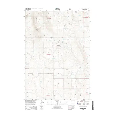
2015 Map of Ramshorn Peak
USGS Topo · Published 2015About this map
The Ramshorn and its namesake Ramshorn Peak dominate the topography of the Absaroka Range within the Shoshone National Forest. This high-elevation terrain is characterized by a network of drainage basins and glacial features, including the Ramshorn Basin and the cluster of Ramshorn Lakes. The landscape is dotted with several smaller bodies of water such as Carson Lake, Burnt Timber Lake, Virgin Lake, and Rainbow Lake.
Find a feature on this map
36 named features on this map. Tap any name to fly to it.
Don’t see what you’re looking for? This feature index may not catch every label — zoom into the map to look around manually.
Map Details
Editions of this 2015 Ramshorn Peak Map
This is the sole edition of this map. No revisions or reprints were ever made.
Other maps of this area

1905 · Younts Peak
USGS Topo · 1:125,000

1907 · Younts Peak
USGS Topo · 1:125,000

1955 · Thermopolis
USGS Topo · 1:250,000

1956 · Indian Point
USGS Topo · 1:24,000

1956 · Dubois
USGS Topo · 1:24,000

1956 · Esmond Park
USGS Topo · 1:24,000

1956 · Shoshone Pass
USGS Topo · 1:24,000

1956 · Ramshorn Peak
USGS Topo · 1:24,000

1956 · Snow Lake
USGS Topo · 1:24,000

1956 · Warm Spring Mountain
USGS Topo · 1:24,000