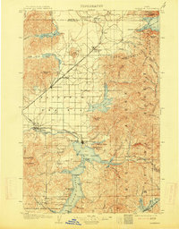
1903 Map of Rathdrum
USGS Topo · Published 1914About this map
Coeur d'Alene Lake and the vast Rathdrum Prairie define the landscape of northern Idaho at the turn of the century. This survey records the early settlement patterns of Kootenai County, where the Northern Pacific railroad cuts across the basin to connect Rathdrum with the timber and water resources of the interior. Near the northern shore of the lake, the military presence at Fort Sherman and the Ft. Sherman Branch rail line indicate the strategic importance of this water-and-rail hub during the era of Western expansion.
Find a feature on this map
74 named features on this map. Tap any name to fly to it.
Don’t see what you’re looking for? This feature index may not catch every label — zoom into the map to look around manually.
Map Details
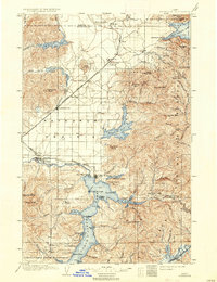
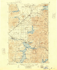
Editions of this 1903 Rathdrum Map
4 editions found
Other maps of this area

1901 · Sandpoint
USGS Topo · 1:125,000

1901 · Spokane
USGS Topo · 1:125,000

1903 · Oakesdale
USGS Topo · 1:125,000

1903 · Rathdrum
USGS Topo · 1:125,000

1905 · Oakesdale
USGS Topo · 1:125,000

1909 · Cataldo
USGS Topo · 1:125,000

1911 · Cataldo
USGS Topo · 1:125,000

1911 · Priest Lake
USGS Topo · 1:250,000

1911 · Sandpoint
USGS Topo · 1:125,000

1913 · Priest Lake
USGS Topo · 1:250,000