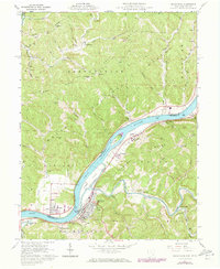
1961 Map of Raven Rock
USGS Topo · Published 1973About this map
The Ohio River carves a deep valley through the dissected plateau of the borderlands between Ohio and West Virginia. This 1960s landscape is defined by its riparian economy, where the Baltimore and Ohio railroad tracks follow the river's path, connecting riverside settlements like Newport and St Marys. Small islands, including Grape Island and the elongated Middle Island, break the river's flow, while the inland terrain is a maze of steep ridges such as Eddy Ridge and Pine Ridge.
Find a feature on this map
69 named features on this map. Tap any name to fly to it.
Don’t see what you’re looking for? This feature index may not catch every label — zoom into the map to look around manually.
Map Details
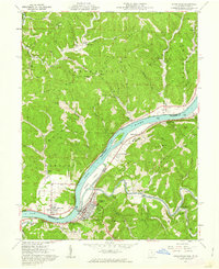
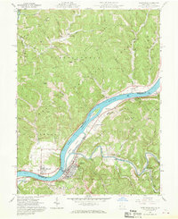
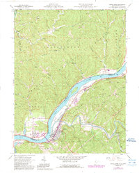
Editions of this 1961 Raven Rock Map
4 editions found
Other maps of this area

1903 · Macksburg
USGS Topo · 1:62,500

1904 · Marietta
USGS Topo · 1:62,500

1905 · New Matamoras
USGS Topo · 1:62,500

1905 · Macksburg
USGS Topo · 1:62,500

1906 · Saint Marys
USGS Topo · 1:62,500

1924 · St Marys
USGS Topo · 1:62,500

1924 · New Matamoras
USGS Topo · 1:62,500

1924 · Marietta
USGS Topo · 1:62,500

1926 · New Matamoras
USGS Topo · 1:62,500

1927 · Marietta
USGS Topo · 1:62,500