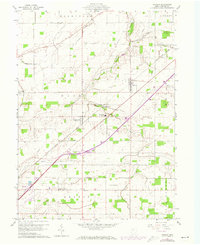
1960 Map of Rawson
USGS Topo · Published 1973About this map
Rawson and Mount Cory serve as the primary hubs in this Western Ohio landscape, situated within a grid of established townships including Union and Eagle. The region is defined by its agricultural and transit infrastructure, where the Norfolk and Western railroad and modern highway interchanges like Interchange 78 cut across traditional land lines. Local education and community life are anchored at the Cory-Rawson High Sch and several country churches such as Pleasant View Ch and Bethesda Ch.
Find a feature on this map
28 named features on this map. Tap any name to fly to it.
Don’t see what you’re looking for? This feature index may not catch every label — zoom into the map to look around manually.
Map Details
Editions of this 1960 Rawson Map
2 editions found
Other maps of this area

1903 · Findlay
USGS Topo · 1:62,500

1905 · Arlington
USGS Topo · 1:62,500

1907 · Bluffton
USGS Topo · 1:62,500

1907 · Arlington
USGS Topo · 1:24,000

1950 · Marion
USGS Topo · 1:250,000

1956 · Toledo
USGS Topo · 1:250,000

1960 · Bluffton
USGS Topo · 1:24,000

1960 · Rawson
USGS Topo · 1:24,000

1960 · Arlington
USGS Topo · 1:24,000
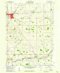
1960 · Leipsic
USGS Topo · 1:24,000