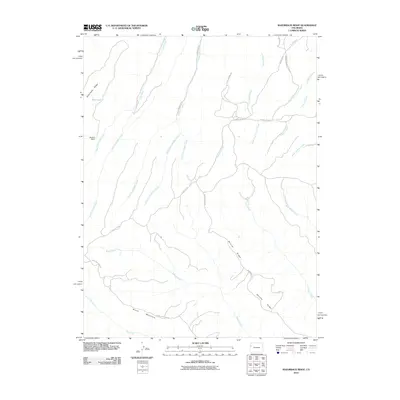
2010 Map of Razorback Ridge
USGS Topo · Published 2010About this map
Razorback Ridge and Skinner Ridge define this high-altitude landscape in Western Colorado, where a complex network of seasonal and permanent drainages carves through the terrain. The presence of Atencio Cabin near Right Fork Lake Creek provides a rare point of named human habitation in an area otherwise dominated by the natural geography of Brush Mountain. The map details the intricate branching of water systems, including the various forks of Soldier Creek and Lake Creek, which feed into the larger regional watershed.
Find a feature on this map
26 named features on this map. Tap any name to fly to it.
Don’t see what you’re looking for? This feature index may not catch every label — zoom into the map to look around manually.
Map Details
Editions of this 2010 Razorback Ridge Map
This is the sole edition of this map. No revisions or reprints were ever made.
Other maps of this area

1929 · Highmore
USGS Topo · 1:62,500

1952 · Yankee Gulch
USGS Topo · 1:24,000

1956 · Grand Junction
USGS Topo · 1:250,000

1959 · Grand Junction
USGS Topo · 1:250,000

1960 · Grand Junction
USGS Topo · 1:250,000

1962 · Grand Junction
USGS Topo · 1:250,000

1964 · Grand Junction
USGS Topo · 1:250,000

1964 · Brushy Point
USGS Topo · 1:24,000

1964 · Henderson Ridge
USGS Topo · 1:24,000

1964 · Black Cabin Gulch
USGS Topo · 1:24,000