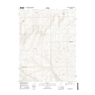
2016 Map of Razorback Ridge
USGS Topo · Published 2016About this map
Razorback Ridge and the Cathedral Bluffs dominate this high-elevation corner of the Piceance Basin, where the Garfield and Rio Blanco county lines meet. The landscape is defined by a dense network of watercourses branching from central divides, including Soldier Creek and its many forks, as well as the drainage of Brush Creek to the south. Small upland features like The Lake provide rare stationary water in a region characterized by steep vertical relief and deeply incised canyons such as Black Sulphur Creek. Remote access is maintained through a system of backcountry routes like Little Burma Rd and several county roads that follow the natural contours of Skinner Ridge and Brush Mountain, illustrating the historical reliance on ridge-line travel in this complex terrain.
Find a feature on this map
33 named features on this map. Tap any name to fly to it.
Don’t see what you’re looking for? This feature index may not catch every label — zoom into the map to look around manually.
Map Details
Editions of this 2016 Razorback Ridge Map
This is the sole edition of this map. No revisions or reprints were ever made.
Other maps of this area

1929 · Highmore
USGS Topo · 1:62,500

1952 · Yankee Gulch
USGS Topo · 1:24,000

1956 · Grand Junction
USGS Topo · 1:250,000

1959 · Grand Junction
USGS Topo · 1:250,000

1960 · Grand Junction
USGS Topo · 1:250,000

1962 · Grand Junction
USGS Topo · 1:250,000

1964 · Grand Junction
USGS Topo · 1:250,000

1964 · Brushy Point
USGS Topo · 1:24,000

1964 · Henderson Ridge
USGS Topo · 1:24,000

1964 · Black Cabin Gulch
USGS Topo · 1:24,000