Loading...
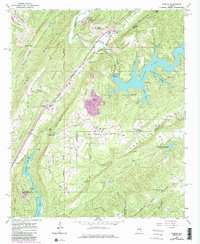
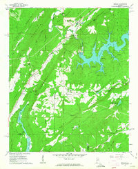
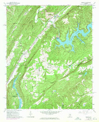
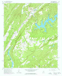
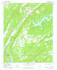
Loading map...1960 Map of Remlap
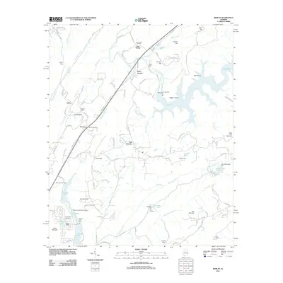
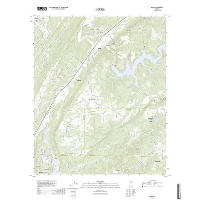
USGS Topo · Published 1986About this map
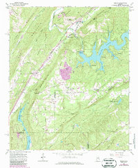
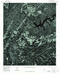
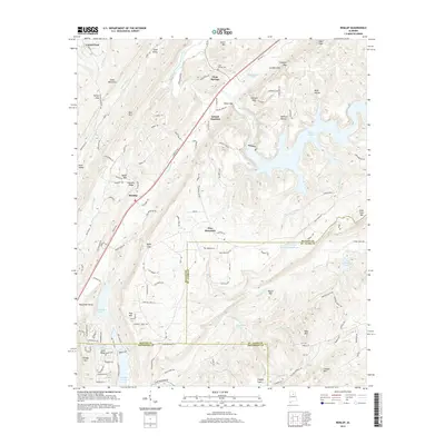
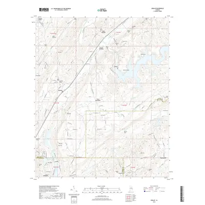
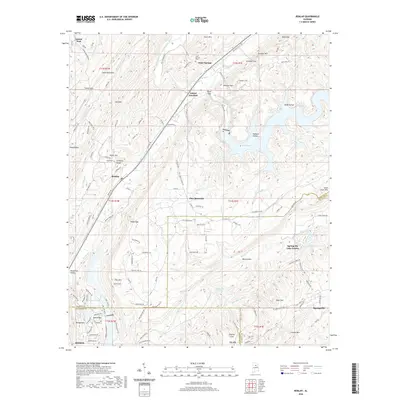
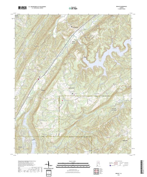
Murphrees Mountain and Blount Mountain dominate this corner of Alabama, where the ridge-and-valley topography dictates the path of industry and settlement. The Seaboard Air Line railroad threads through the valleys, serving communities like Remlap and Inland Junction while skirting the edge of Inland Lake. Local life is anchored by traditional landmarks such as Lees Chapel, Pleasant Mount Ch, and the Blount Highlands Sch, reflecting a rural social fabric established long before modern development.
Find a feature on this map
57 named features on this map. Tap any name to fly to it.
Don’t see what you’re looking for? This feature index may not catch every label — zoom into the map to look around manually.
Map Details
Date Portrayed1960
Date Published1986
PublisherU.S. Geological Survey
Map TypeTopographic
Scale1:24,000
Physical Dimensions22 x 26.8 inches
Editions of this 1960 Remlap Map
6 editions found
Historical Maps of Clay Through Time
8 maps found
Featured Locations
Source Details
SourceU.S. Geological Survey
CopyrightPublic Domain