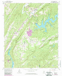
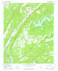
1960 Map of Remlap
USGS Topo · Published 1986About this map
The ridge-and-valley landscape of the Alabama foothills comes into sharp focus at Remlap, where the Seaboard railroad cuts through Murphrees Valley. This 1960s-era survey, updated in the early 1980s, highlights a rural economy transitioning from traditional agriculture to industry and recreation. The massive Inland Reservoir dominates the eastern terrain, with complex inlets like Sawmill Slough and Jones Slough reaching into the hollows of Blount Mountain.
Find a feature on this map
59 named features on this map. Tap any name to fly to it.
Don’t see what you’re looking for? This feature index may not catch every label — zoom into the map to look around manually.
Map Details
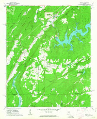
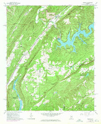
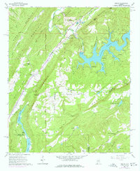
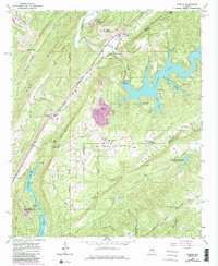
Editions of this 1960 Remlap Map
6 editions found
Other maps of this area

1889 · Springville
USGS Topo · 1:125,000

1889 · Birmingham
USGS Topo · 1:125,000

1892 · Birmingham
USGS Topo · 1:125,000

1892 · Springville
USGS Topo · 1:125,000

1895 · Birmingham
USGS Topo · 1:125,000

1905 · Leeds
USGS Topo · 1:62,500

1907 · Birmingham
USGS Topo · 1:125,000

1907 · Leeds
USGS Topo · 1:62,500

1953 · Birmingham
USGS Topo · 1:250,000

1956 · Birmingham
USGS Topo · 1:250,000