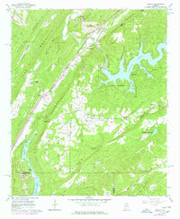
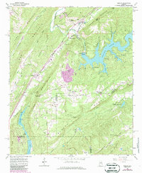
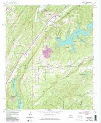
1960 Map of Remlap
USGS Topo · Published 1978About this map
Murphree Valley and the surrounding ridges of the Appalachian foothills define this 1960 landscape, showing the area as it transitioned through mid-century development. The Louisville and Nashville railroad serves as the primary corridor through the valley, connecting settlements like Remlap and Inland Junction. The terrain is characterized by steep ridges such as Sand Mountain and Blount Mountain, which hem in the drainage of the Little Warrior River.
Find a feature on this map
60 named features on this map. Tap any name to fly to it.
Don’t see what you’re looking for? This feature index may not catch every label — zoom into the map to look around manually.
Map Details
Editions of this 1960 Remlap Map
6 editions found
Other maps of this area

1889 · Springville
USGS Topo · 1:125,000

1889 · Birmingham
USGS Topo · 1:125,000

1892 · Birmingham
USGS Topo · 1:125,000

1892 · Springville
USGS Topo · 1:125,000

1895 · Birmingham
USGS Topo · 1:125,000

1905 · Leeds
USGS Topo · 1:62,500

1907 · Birmingham
USGS Topo · 1:125,000

1907 · Leeds
USGS Topo · 1:62,500

1953 · Birmingham
USGS Topo · 1:250,000

1956 · Birmingham
USGS Topo · 1:250,000