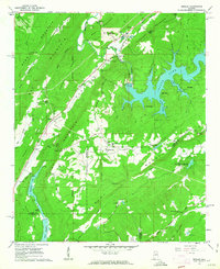
1960 Map of Remlap
USGS Topo · Published 1963About this map
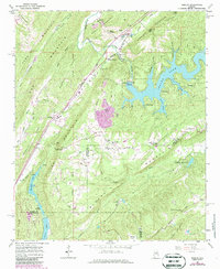
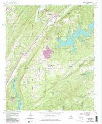
Remlap and Inland Junction anchor a landscape defined by the ridgelines of Sand Mountain, Murphree Mountain, and Pine Mountain. This 1960 field-checked topography reveals a complex network of valleys where the Little Warrior River and Blackburn Fork flow toward the north. The presence of the Inland Reservoir and several smaller bodies like Golden Lake and Springville Lake Estates highlights the mid-century development of water resources and recreational spaces, including Camp Tekawitha and Camp Utopia.
Find a feature on this map
59 named features on this map. Tap any name to fly to it.
Don’t see what you’re looking for? This feature index may not catch every label — zoom into the map to look around manually.
Map Details
Editions of this 1960 Remlap Map
6 editions found
Other maps of this area

1889 · Springville
USGS Topo · 1:125,000

1889 · Birmingham
USGS Topo · 1:125,000

1892 · Birmingham
USGS Topo · 1:125,000

1892 · Springville
USGS Topo · 1:125,000

1895 · Birmingham
USGS Topo · 1:125,000

1905 · Leeds
USGS Topo · 1:62,500

1907 · Birmingham
USGS Topo · 1:125,000

1907 · Leeds
USGS Topo · 1:62,500

1953 · Birmingham
USGS Topo · 1:250,000

1956 · Birmingham
USGS Topo · 1:250,000