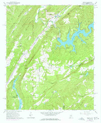
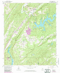
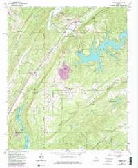
1960 Map of Remlap
USGS Topo · Published 1977About this map
The Louisville and Nashville Railroad serves as the industrial spine of this region, cutting through the valleys between Murphrees Mountain and Gravelly Ridge. This 1960s landscape shows a transition from rural agriculture and mining to recreation, anchored by the significant waters of Inland Lake. The topography is defined by parallel ridges like Straight Mountain and Sand Mountain, which dictate the placement of early settlements and junctions.
Find a feature on this map
68 named features on this map. Tap any name to fly to it.
Don’t see what you’re looking for? This feature index may not catch every label — zoom into the map to look around manually.
Map Details
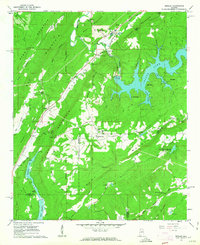
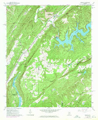
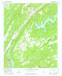
Editions of this 1960 Remlap Map
6 editions found
Other maps of this area

1889 · Springville
USGS Topo · 1:125,000

1889 · Birmingham
USGS Topo · 1:125,000

1892 · Birmingham
USGS Topo · 1:125,000

1892 · Springville
USGS Topo · 1:125,000

1895 · Birmingham
USGS Topo · 1:125,000

1905 · Leeds
USGS Topo · 1:62,500

1907 · Birmingham
USGS Topo · 1:125,000

1907 · Leeds
USGS Topo · 1:62,500

1953 · Birmingham
USGS Topo · 1:250,000

1956 · Birmingham
USGS Topo · 1:250,000