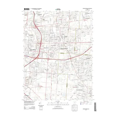
2013 Map of Reynoldsburg
USGS Topo · Published 2013About this map
Reynoldsburg and the eastern expansion of Columbus are shown here as a dense network of suburban residential development and major transportation corridors. The landscape is defined by its deep historical roots, evidenced by numerous burial grounds such as Silent Home Cem and the Asbury Methodist Episcopal Cem situated near the intersection of Winchester Pike. This era marks the continued vitality of the Baltimore and Ohio RR as it cuts through the heart of the region, passing by established neighborhoods like Idlewood Manor and Rose Hill Heights.
Find a feature on this map
48 named features on this map. Tap any name to fly to it.
Don’t see what you’re looking for? This feature index may not catch every label — zoom into the map to look around manually.
Map Details
Editions of this 2013 Reynoldsburg Map
This is the sole edition of this map. No revisions or reprints were ever made.
Other maps of this area

1902 · Westerville
USGS Topo · 1:62,500

1904 · Westerville
USGS Topo · 1:62,500

1907 · Thurston
USGS Topo · 1:62,500

1908 · Granville
USGS Topo · 1:62,500

1909 · Thurston
USGS Topo · 1:62,500

1910 · Granville
USGS Topo · 1:62,500

1925 · East Columbus
USGS Topo · 1:62,500

1943 · East Columbus
USGS Topo · 1:62,500

1947 · Columbus
USGS Topo · 1:250,000

1950 · Marion
USGS Topo · 1:250,000