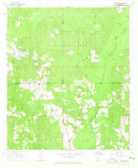
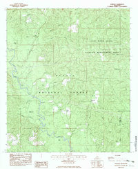
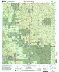
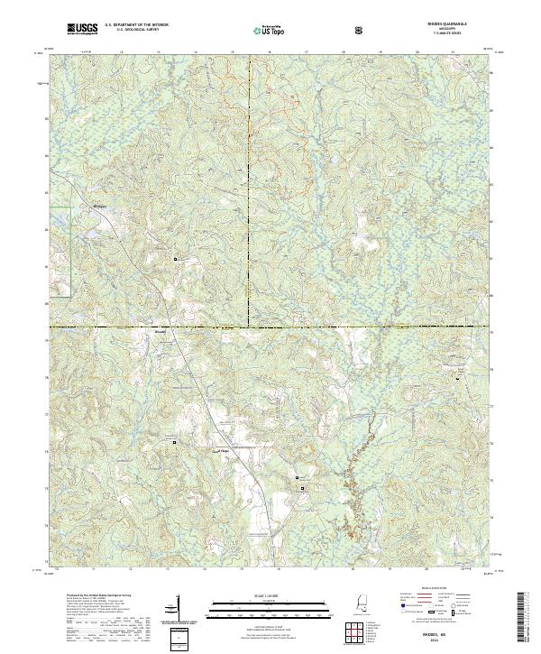
1964 Map of Rhodes
USGS Topo · Published 1965This historical map portrays the area of Rhodes in 1964, primarily covering Perry County as well as portions of Jones County and Wayne County. Featuring a scale of 1:24000, this map provides a highly detailed snapshot of the terrain, roads, buildings, counties, and historical landmarks in the Rhodes region at the time. Published in 1965, it is one of 3 known editions of this map due to revisions or reprints.
Find a feature on this map
31 named features on this map. Tap any name to fly to it.
Don’t see what you’re looking for? This feature index may not catch every label — zoom into the map to look around manually.
Map Details
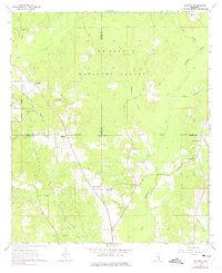
Editions of this 1964 Rhodes Map
3 editions found
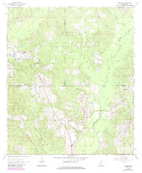
Historical Maps of Wayne County Through Time
16 maps found
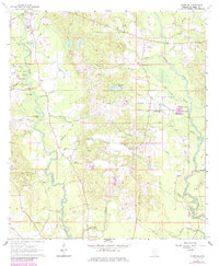
1964 Ovett SE
Perry County, MS
1964 Rhodes
Perry County, MS
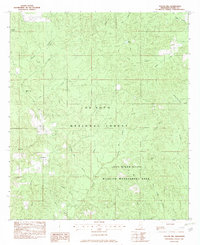
1982 Barbara
Perry County, MS
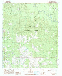
1982 Taylor Hill
Perry County, MS
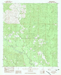
1983 Bond Pond
Perry County, MS
1983 Janice
Perry County, MS
2000 Barbara
Perry County, MS
2000 Bond Pond
Perry County, MS
2000 Janice
Perry County, MS
2000 Taylor Hill
Perry County, MS
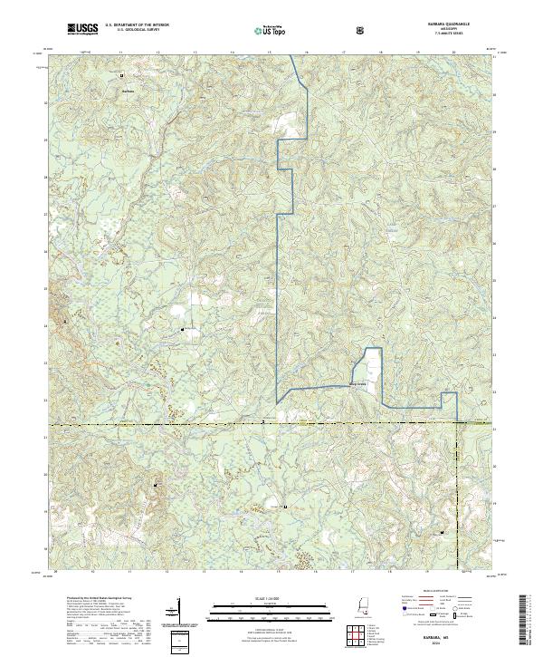
2024 Barbara
Perry County, MS
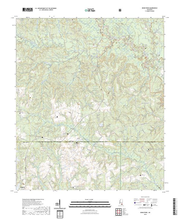
2024 Bond Pond
Perry County, MS
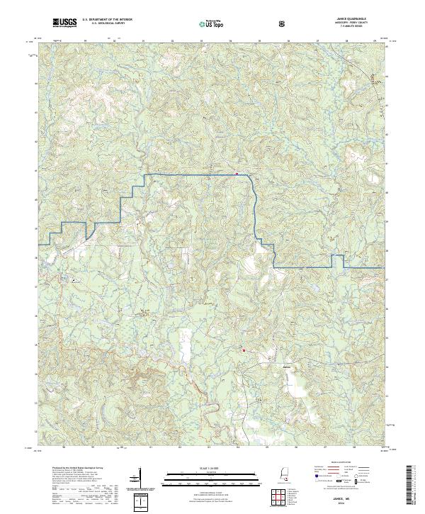
2024 Janice
Perry County, MS
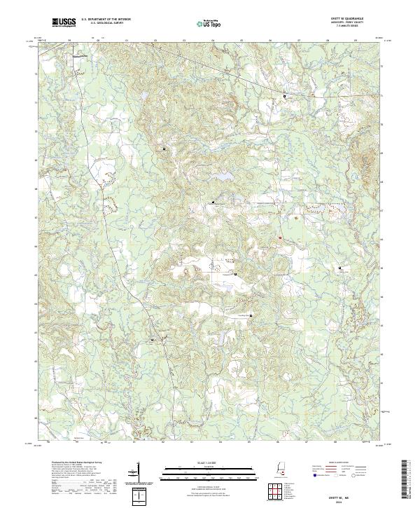
2024 Ovett SE
Perry County, MS
2024 Rhodes
Perry County, MS
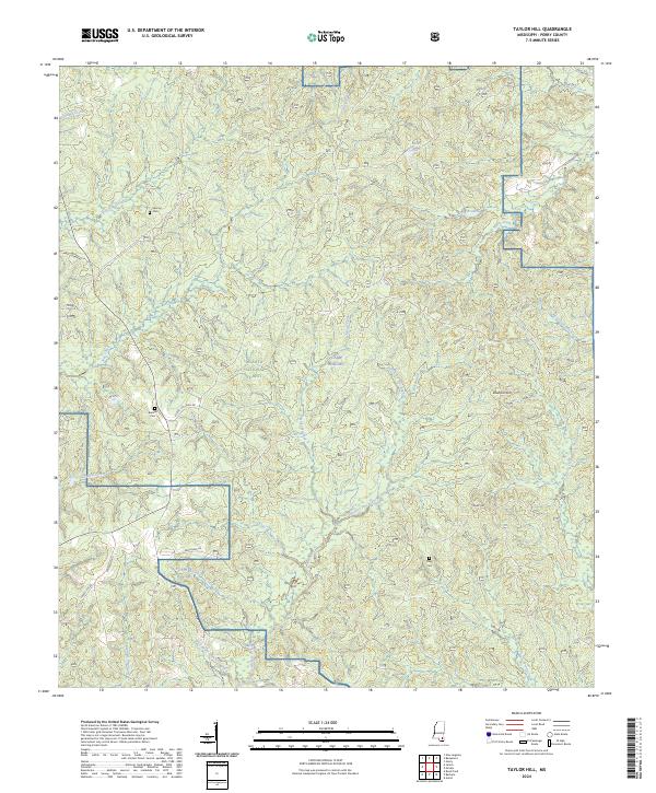
2024 Taylor Hill
Perry County, MS