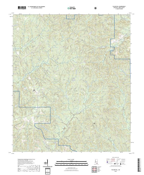
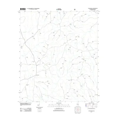
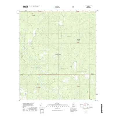
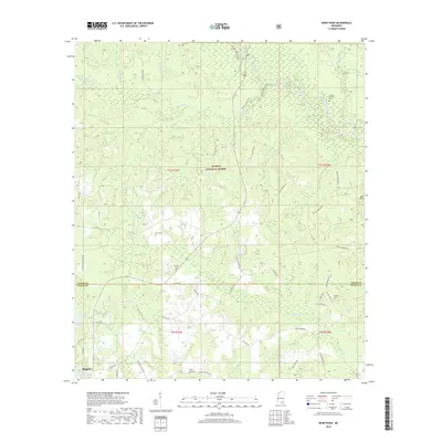
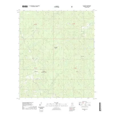
2024 Map of Taylor Hill
USGS Topo · Published 2024About this map
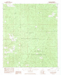
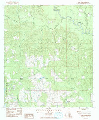
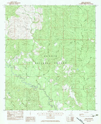
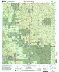
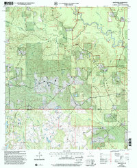
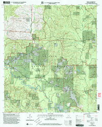
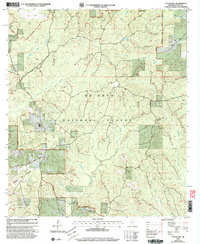
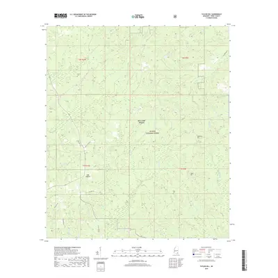
De Soto National Forest and the training grounds of Camp Shelby dominate this corner of Perry County, Mississippi. This 2024 survey documents a landscape of dense pine forests and winding drainage networks, including Hickory Creek and Harverson Mill Creek. The terrain is marked by distinctive elevations such as Deadman Hill and Taylor Hill, which rise above the numerous branches and prongs that feed the local watershed. Family names are preserved in the landscape through the marking of small burial sites, including Herring Cem, Breland Cem, and Riley Cem. These points of interest, along with local routes like Patterson Rd and Forest Cochran Rd, provide essential landmarks for researchers tracing the rural heritage and land use patterns within this federally managed timberland.
Find a feature on this map
37 named features on this map. Tap any name to fly to it.
Don’t see what you’re looking for? This feature index may not catch every label — zoom into the map to look around manually.
Map Details
Editions of this 2024 Taylor Hill Map
This is the sole edition of this map. No revisions or reprints were ever made.
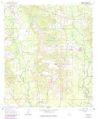
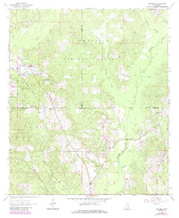
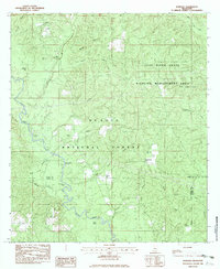
Historical Maps of Oak Grove Through Time
40 maps found
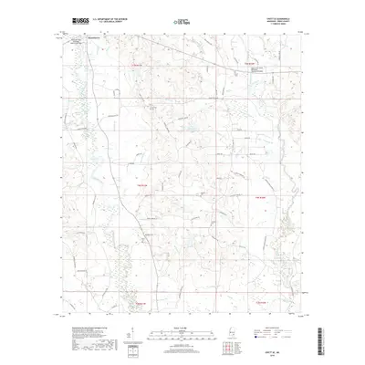
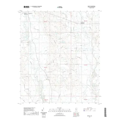
1964 Ovett SE
Perry County, MS
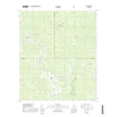
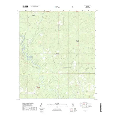
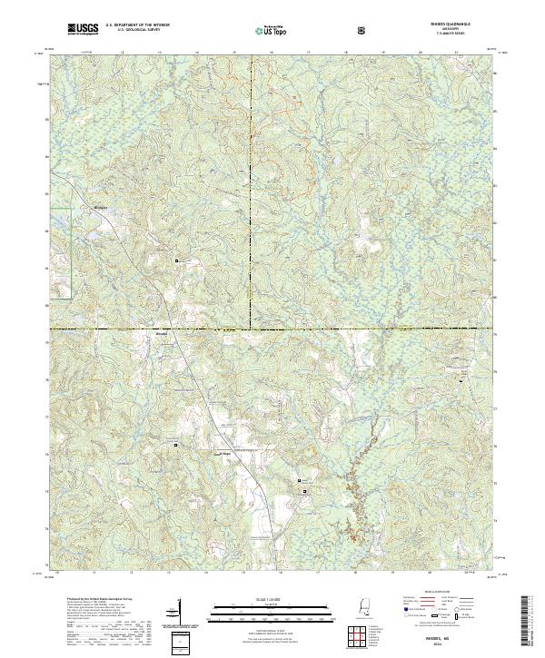
1964 Rhodes
Perry County, MS
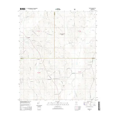
1982 Barbara
Perry County, MS
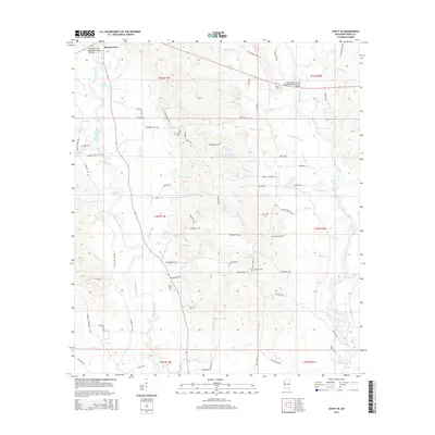
1982 Taylor Hill
Perry County, MS
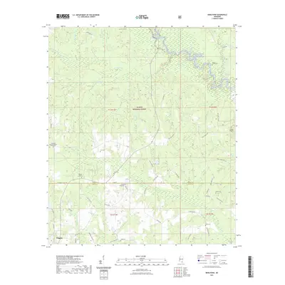
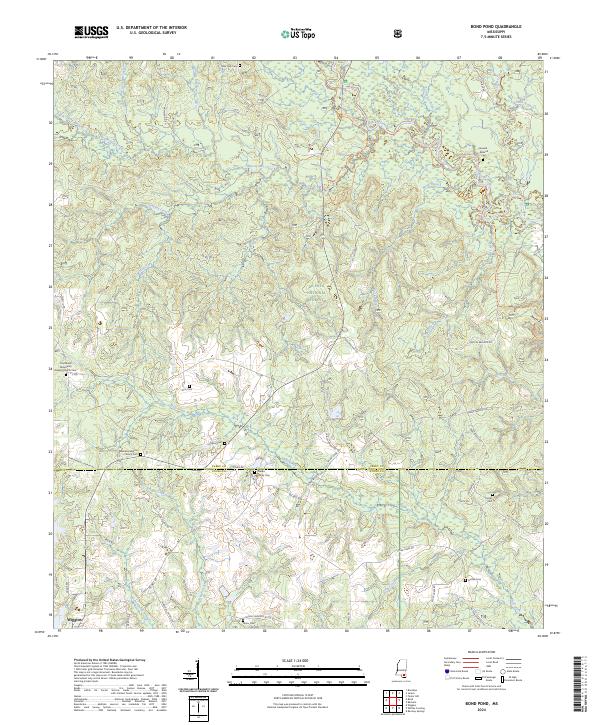
1983 Bond Pond
Perry County, MS
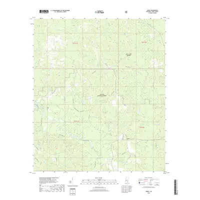
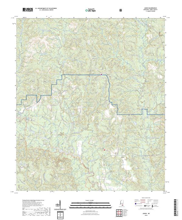
1983 Janice
Perry County, MS
2000 Barbara
Perry County, MS
2000 Bond Pond
Perry County, MS
2000 Janice
Perry County, MS
2000 Taylor Hill
Perry County, MS
2012 Barbara
Perry County, MS
2012 Bond Pond
Perry County, MS
2012 Janice
Perry County, MS
2012 Ovett SE
Perry County, MS
2012 Rhodes
Perry County, MS
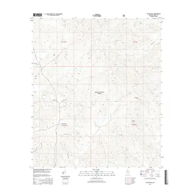
2012 Taylor Hill
Perry County, MS
2015 Barbara
Perry County, MS
2015 Bond Pond
Perry County, MS
2015 Janice
Perry County, MS
2015 Ovett SE
Perry County, MS
2015 Rhodes
Perry County, MS
2015 Taylor Hill
Perry County, MS
2018 Barbara
Perry County, MS
2018 Bond Pond
Perry County, MS
2018 Janice
Perry County, MS
2018 Ovett SE
Perry County, MS
2018 Rhodes
Perry County, MS
2018 Taylor Hill
Perry County, MS
2020 Ovett SE
Perry County, MS
2021 Barbara
Perry County, MS
2021 Bond Pond
Perry County, MS
2021 Janice
Perry County, MS
2021 Rhodes
Perry County, MS
2021 Taylor Hill
Perry County, MS
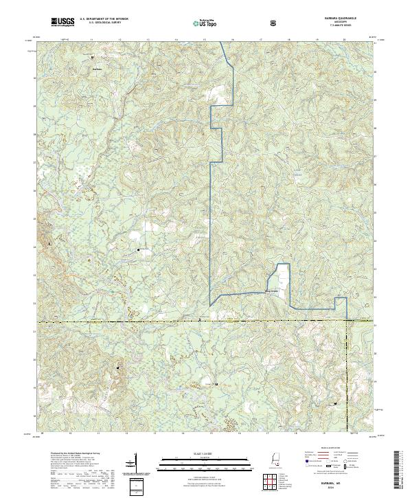
2024 Barbara
Perry County, MS
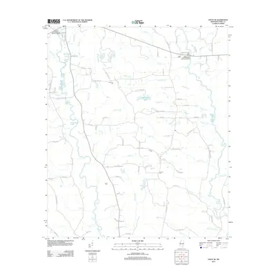
2024 Bond Pond
Perry County, MS
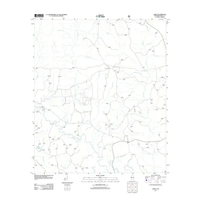
2024 Janice
Perry County, MS
2024 Ovett SE
Perry County, MS
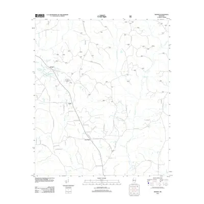
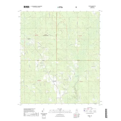
2024 Rhodes
Perry County, MS
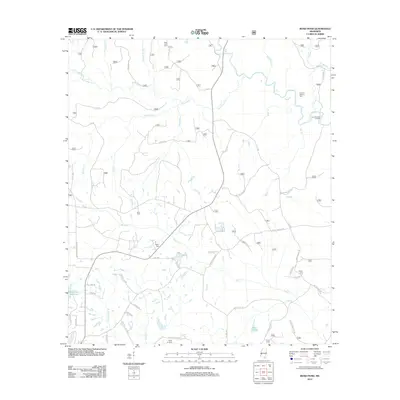
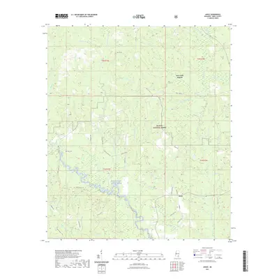
2024 Taylor Hill
Perry County, MS