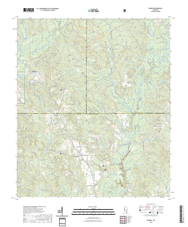
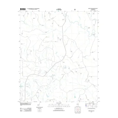
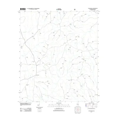
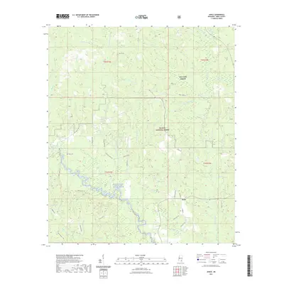
2024 Map of Rhodes
USGS Topo · Published 2024About this map
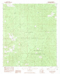
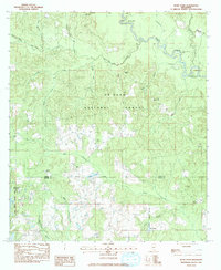
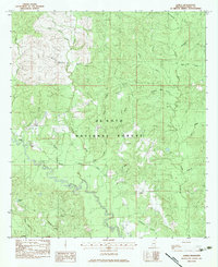
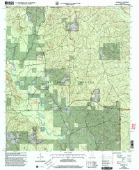
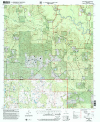
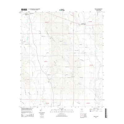
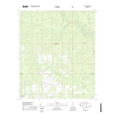
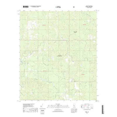
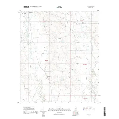
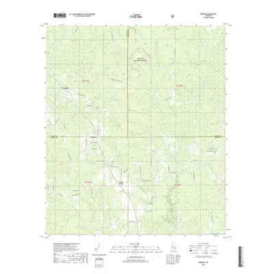
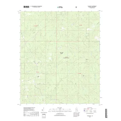
De Soto National Forest dominates the upper half of this landscape, where the tri-county corner of Jones, Wayne, and Perry counties meets. The terrain is defined by a dense network of tributaries including West Tiger Creek, Hog Branch, and Thompson Creek. Small communities like Rhodes and Blodgett sit along the winding roads that navigate these wooded uplands. In the southern portion near Good Hope, the map reveals a high density of small family burial sites and rural church grounds. Genealogists may find particular value in the locations of the Clifton Curry Family Cem, Dewitt Family Cem, and Edwards Cem. The intricate road system, from named lanes like Rayburn Pierce Rd to the Little Tiger Atv Cut Though Trl, illustrates the modern access patterns within this heavily forested region of south Mississippi.
Find a feature on this map
68 named features on this map. Tap any name to fly to it.
Don’t see what you’re looking for? This feature index may not catch every label — zoom into the map to look around manually.
Map Details
Editions of this 2024 Rhodes Map
This is the sole edition of this map. No revisions or reprints were ever made.
Historical Maps of Rhodes Through Time
40 maps found
1964 Ovett SE
Perry County, MS
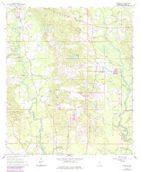
1964 Rhodes
Perry County, MS
1982 Barbara
Perry County, MS
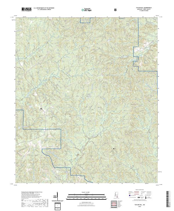
1982 Taylor Hill
Perry County, MS
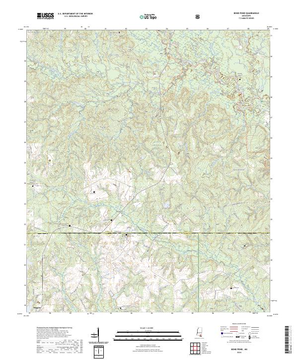
1983 Bond Pond
Perry County, MS
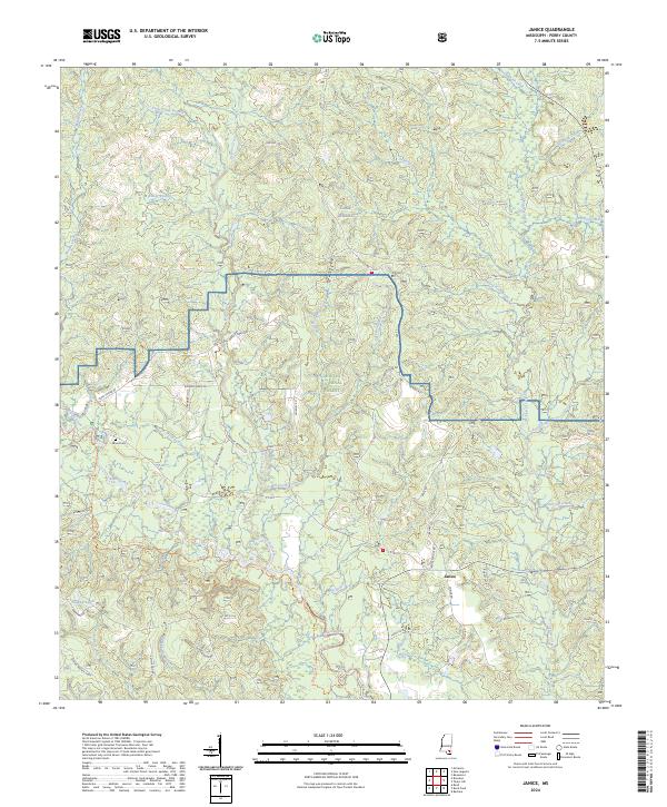
1983 Janice
Perry County, MS
2000 Barbara
Perry County, MS
2000 Bond Pond
Perry County, MS
2000 Janice
Perry County, MS
2000 Taylor Hill
Perry County, MS
2012 Barbara
Perry County, MS
2012 Bond Pond
Perry County, MS
2012 Janice
Perry County, MS
2012 Ovett SE
Perry County, MS
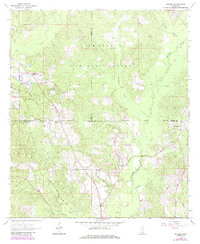
2012 Rhodes
Perry County, MS
2012 Taylor Hill
Perry County, MS
2015 Barbara
Perry County, MS
2015 Bond Pond
Perry County, MS
2015 Janice
Perry County, MS
2015 Ovett SE
Perry County, MS
2015 Rhodes
Perry County, MS
2015 Taylor Hill
Perry County, MS
2018 Barbara
Perry County, MS
2018 Bond Pond
Perry County, MS
2018 Janice
Perry County, MS
2018 Ovett SE
Perry County, MS
2018 Rhodes
Perry County, MS
2018 Taylor Hill
Perry County, MS
2020 Ovett SE
Perry County, MS
2021 Barbara
Perry County, MS
2021 Bond Pond
Perry County, MS
2021 Janice
Perry County, MS
2021 Rhodes
Perry County, MS
2021 Taylor Hill
Perry County, MS
2024 Barbara
Perry County, MS
2024 Bond Pond
Perry County, MS
2024 Janice
Perry County, MS
2024 Ovett SE
Perry County, MS
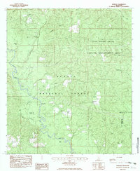
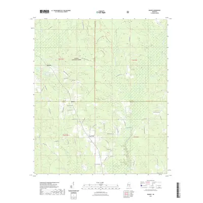
2024 Rhodes
Perry County, MS
2024 Taylor Hill
Perry County, MS