
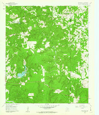
1960 Map of Rhonesboro
USGS Topo · Published 1962About this map
Rhonesboro and the surrounding piney woods of East Texas are captured here during a period of transition in the early 1960s. The landscape is defined by the winding course of Little Cypress Creek and a dense network of tributaries like Hoys Mill Branch and Dinner Branch. Small rural communities and landmarks, such as Perryville, Ogburn, and the Little Hope Ch, anchor the local geography. Evidence of the region's transport history remains visible in the Old Railroad Grade cutting through the southern portion of the quadrangle.
Find a feature on this map
32 named features on this map. Tap any name to fly to it.
Don’t see what you’re looking for? This feature index may not catch every label — zoom into the map to look around manually.
Map Details
Editions of this 1960 Rhonesboro Map
4 editions found
Other maps of this area

1956 · Tyler
USGS Topo · 1:250,000

1960 · Shady Grove
USGS Topo · 1:24,000

1960 · Pritchett
USGS Topo · 1:24,000

1960 · Hainesville
USGS Topo · 1:24,000

1960 · Winnsboro
USGS Topo · 1:24,000

1960 · Cartwright
USGS Topo · 1:24,000

1960 · Thomas
USGS Topo · 1:24,000

1960 · Newsome
USGS Topo · 1:24,000

1960 · Leesburg
USGS Topo · 1:24,000

1984 · Tyler
USGS Topo · 1:250,000