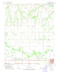
1972 Map of Richland
USGS Topo · Published 1974About this map
The North Canadian River meanders through this portion of Canadian County, Oklahoma, defining a landscape where rural crossroads and emerging suburban boundaries intersect. In the south, the city of Yukon is shown with its local infrastructure, including Central Sch, Jr High Sch, and St Johns Cem. The industrial and transportation history of the area is anchored by the Chicago Rock Island and Pacific railroad, which parallels the river, while an Old Railroad Grade further north marks a retired path of commerce near the community of Richland.
Find a feature on this map
35 named features on this map. Tap any name to fly to it.
Don’t see what you’re looking for? This feature index may not catch every label — zoom into the map to look around manually.
Map Details
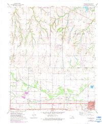
Editions of this 1972 Richland Map
2 editions found
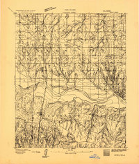
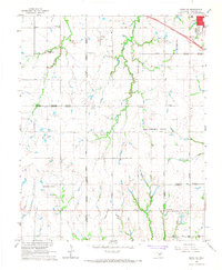
Other maps of this area

1892 · Kingfisher
USGS Topo · 1:125,000

1893 · Oklahoma City
USGS Topo · 1:62,500
1893 · Minco
USGS Topo · 1:62,500

1895 · Kingfisher
USGS Topo · 1:125,000

1904 · Chickasha
USGS Topo · 1:125,000

1954 · Oklahoma City
USGS Topo · 1:250,000

1956 · Oklahoma City
USGS Topo · 1:62,500

1957 · Oklahoma City
USGS Topo · 1:250,000

1963 · Oklahoma City
USGS Topo · 1:250,000
1966 · Minco NE
USGS Topo · 1:24,000